Manitou Mountain
Posted by Derek on May 9, 2012
aka. Haliburton County High Point
Height: 1847 feet / 563 meters
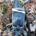
GPS recorded height: 1886 feet / 575 meters
Lat/Lon: N45 26.676 W78 34.962
Date Summited: May 5, 2012
Overview:
Manitou Mountain is located within Algonquin Provincial Park and is the highest point in Haliburton County. The mountain’s name: Manitou is derived from the Native American (Algonquin) word relating to the concept of spirit beings and their interconnection to nature and life.
Directions:
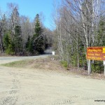
Make your way to Dorset, Ontario. Just north of the bridge over Lake of Bays turn east off of Highway 35 onto Country Road 12 / Kwagama Lake Road. After 800 meters, the road splits 3 ways. Take the middle road, Livingstone Lake Road for 22.7 km and turn right onto Dagger Lake Access Road where Livingstone Lake Road makes a sharp turn to the left. On this same sharp bend, to the right just before Dagger Lake Access Road, is a large sign indicating the official Algonquin Park Access Point for Livingstone Lake (#14 on the Algonquin map shown below).
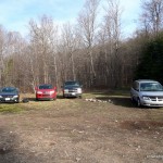
Although rough in a few places, driving carefully, the Dagger Lake Access Road should be navigable for most cars. 8.3 km from Livingstone Lake Road, there is a fork in the road. Take the left fork and follow it 0.4 km to the large grassy parking area at the end of the road.
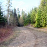
The road continues east, however it has been bermed and the culvert just beyond the parking area has been removed to discourage vehicle use — it is only suitable for hiking, biking or ATV travel. After about 500 meters, the road rounds to the north and reaches an intersection 1.4 km from the parking area. Take a right turn at the intersection and continue east for 1.6 km (3.0 km from the parking area) to a 4-way intersection. Proceed east through the intersection. The road begins to turn north and continues for another 2.5 km until terminating. An overgrown trail picks up where the ATV trail ends. Follow this trail north for 400 meters before beginning the bushwhack to Manitou Mt.
The bushwhack starts near the Algonquin Park boundary, northwest of a pond/wetland. Proceed east from the overgrown road, descend into a valley, and skirt north of the pond/wetland. The climb back up the eastern side of the valley is steep, but is less than 100 feet of ascent. Follow an easterly course, but make sure to avoid a second wetland by deviating south slightly after bushwhacking 500 meters. After bypassing the second wetland, change course to the northeast to intersect with the creek that runs between Big Porcupine Lake and Little Coon Lake.
After bushwhacking through mostly mature deciduous forest for 1.9 km you will intersect the portage trail that runs between Big Porcupine Lake and Little Coon Lake. The creek which the portage bypasses is 100 meters to the northeast. The creek is shallow and there are a few places to cross on rocks and logs without the need to get wet boots/shoes near the mouth to Little Coon Lake.
After crossing the creek, proceed northeast and ascend another steep north-south aligned ridge. It is 1.2 km from the creek to the final steep ascent up to Manitou Mt. The easiest place to ascend is along the bank of a small creek which flows down from the ridge. Once gaining the top of the ridge, resume northeast to the highest point of Manitou Mt.
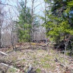
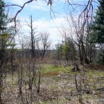
The summit area of Manitou Mt. is a roughly circular area with a diameter of approximately 100 feet. Strangely, although this summit area is at least 20 feet higher than the surrounding land, the OBM maps (Ontario Base Maps) do not have a contour for it. (The spot height is 43 feet higher than the highest contour). The summit is mostly open and there are partially obscured views in all directions. The highest point appears to be among a group of small trees on the west side of the summit area which is marked by a spot height of 1847 feet on the OBM maps.
View a larger version of the map
Trip Summary:
00.0 km – Departed Livingstone Lake Road: 7:15 AM
08.7 km – Arrived at Dagger Lake Parking Area: 7:45 AM (8.7 km)
00.0 km – Departed Dagger Lake Parking Area: 8:05 AM
05.9 km – Arrived at beginning of bushwhack: 9:30 AM (5.9 km)
07.8 km – Arrived at Big Porcupine – Little Coon Portage: 10:20 AM (1.9km)
09.6 km – Arrived at Manitou Mt.: 11:20 AM (1.8 km)
09.6 km – Departed Manitou Mt.: 12:20 PM
11.4 km – Arrived back at Big Porcupine – Little Coon Portage: 1:00 PM (1.8 km)
13.3 km – Arrived back at beginning of bushwhack: 1:55 PM (1.9 km)
19.2 km – Arrived back at Dagger Lake Parking Area: 3:20 PM (5.9 km)
00.0 km – Departed Dagger Lake Parking Area: 3:35 PM
08.7 km – Arrived back at Livingstone Lake Road: 4:05 PM (8.7 km)
Trip Report:
Situated deep within Algonquin Park, the obvious route to Manitou Mountain is to canoe from Smoke Lake to Big Porcupine Lake to begin the ascent. I decided that realistically, this option would require 2 days and I wasn’t sure I could commit the time for this, so after scanning over maps and satellite imagery I found a possible route which could be done in a day and also avoided the dependency on canoes. Having outlined the route for this trek back in the fall of 2011, I eagerly awaited the narrow window of opportunity of warmer weather and little bug activity to attempt to climb Manitou Mountain by way of this purely overland route.
After trading emails with Ben Lostracco, Canadian high-pointer extraordinaire, I found myself a partner for the trek, and we decided upon May 5th to attempt the hike.
We met up at the Livingstone Lake Canoe Launch Access Point which is situated beside the turnoff onto Dagger Lake Access Road. As we were not able to ascertain the conditions of Dagger Lake Access Road beforehand, we had both brought bikes in case it was too rough for our cars. Ben had arrived earlier than me and explored the first 1 km of the road. He said the road was in pretty good shape, so we decided to head in with our cars to see how far we could get. As it turns out, we didn’t need our bikes at all. The road, although rough in places was in pretty good condition and we were able to carefully drive right to the end of the road to the parking area near Dagger Lake.
We parked beside a couple of other cars, suited up and began the hike on some well traveled ATV roads. We followed the road east and then north as it climbed a hill to a 3-way junction. We turned right and headed east again. Just past the intersection, we began to hear gun shots to the north. Not knowing whether the shots were headed our way, we decided not to hang around and hiked briskly to a 4-way intersection. We continued east through the intersection and left the distant gun shots behind as the road turned north to parallel a wetland just situated to the east. Finally at 5.5 km from the parking area, we arrived at the end of the ATV road. As I was preparing for the bushwhack, Ben found an overgrown trail that continued north from the end of the road. We decided to follow it, so we could skirt the northern edge of the wetland which lay to the east.
After following the overgrown trail for 400 meters, it was time to turn off the trail, to begin the bushwhack east through the mature deciduous forest that dominated the area. The first obstacle was a 100 foot drop into a valley with a small stream crossing and then a scramble back up the steep east side. Making quick work of the valley, we bushwhacked eastward, dipping south slightly to avoid a second wetland which our maps indicated was directly east of our bushwhack. When we had skirted the south end of the wetland, we changed our course to northeast and headed for the north shore of Little Coon Lake where I guessed the creek crossing ahead of us would be the easiest.
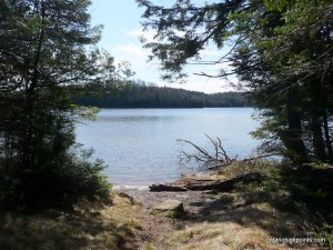
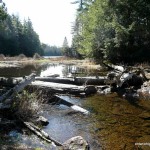
After bushwhacking for 1.9 km we emerged onto the portage which runs between Big Porcupine Lake and Little Coon Lake. We followed the portage south to Little Coon for a short rest and to take in the scenery. A short bushwhack north of the portage, we found a few logs and rocks strategically positioned which enabled us to cross the creek without having to change into our water shoes. Just past the creek, we encountered another steep ridge that we had to scramble up, by grabbing trees and roots as handholds. Once atop the hill, the terrain leveled out and we resumed our northeast trek through the woods.
1.1 km from the creek crossing we reached the edge of a valley. We descended to the valley floor which appeared to have once been home to a road that traveled the length of it – now much overgrown. The eastern wall of the valley was too steep to climb here so we changed course to the southeast where we had spotted an easier way up.
By following a creek up to the top of the ridge, we were able to make the ascent. Only a short distance beyond, we spotted some rock faces which partially crowned the summit of Manitou Mt. We climbed up around these small cliffs and reached the open summit.
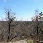
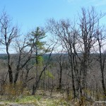
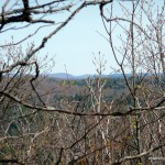
The highest point appeared to correspond exactly with the spot height on my maps, a spot between a grouping of small trees on the western edge of the summit area. We explored the area to make sure we had found the actual summit and verified that a second waypoint I had gotten from peakbagger.com was indeed lower. Once back at the actual summit, we enjoyed lunch and took in the beautiful panoramas visible between the still leafless springtime trees.
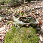
The return trip was uneventful, we reversed our course in and made quick time as we knew what to expect. Along the way I spotted a moose skull laying on the forest floor, which I propped up on a rock for a couple of photos.
We arrived back at our cars near Dagger Lake, completing the 7:15 hour / 19.2 km trip.
Resources:
Manitou Mountain GPS Track (.gpx format)
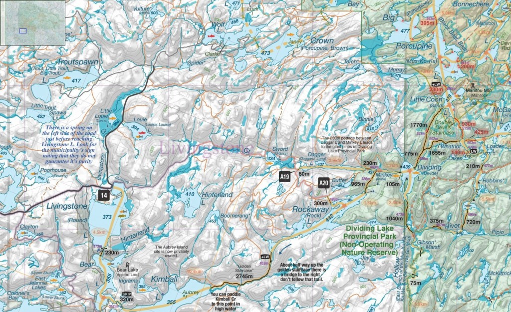
Map courtesy of www.algonquinmap.com
Related Links:
Manitou Mountain on peakbagger.com
