MacDougall & Centennial Ridge Mountain
Posted by Derek on Oct 18, 2024
MacDougall Mountain
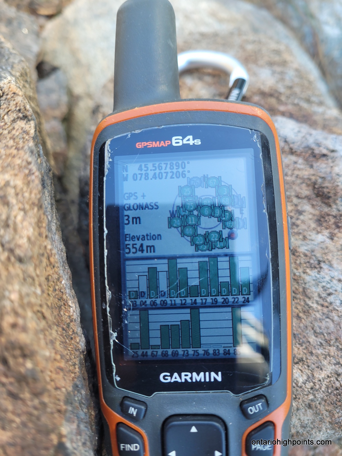
Height: 1837 feet / 560 meters
Lat/Lon: N45.56789 W78.40721
Date Summited: April 26, 2024
Centennial Ridge Mountain
Height: 1608 feet / 490 meters
Lat/Lon: N45.56236 W78.41668
Date Summited: April 26, 2024
Overview:
MacDougall Mountain is the highest point on the Centennial Ridges in Algonquin Provincial Park, Ontario. It is accessible via the Centennial Ridges Trail, which also features Centennial Ridge Mountain along its route. A short bushwhack is needed to reach MacDougall’s summit, where the views are limited.
Directions:
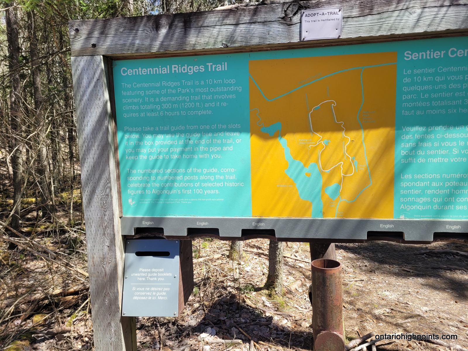
To get to the Centennial Ridges Trailhead in Algonquin Provincial Park, follow Highway 60 to Centennial Ridges Road, located just east of the Pog Lake Campground. The trailhead is at the end of Centennial Ridges Road, approximately 2.1 km from the highway, and includes a designated parking area for hikers. After parking, simply follow the clearly marked trail signs to begin your adventure on the scenic Centennial Ridges Trail.
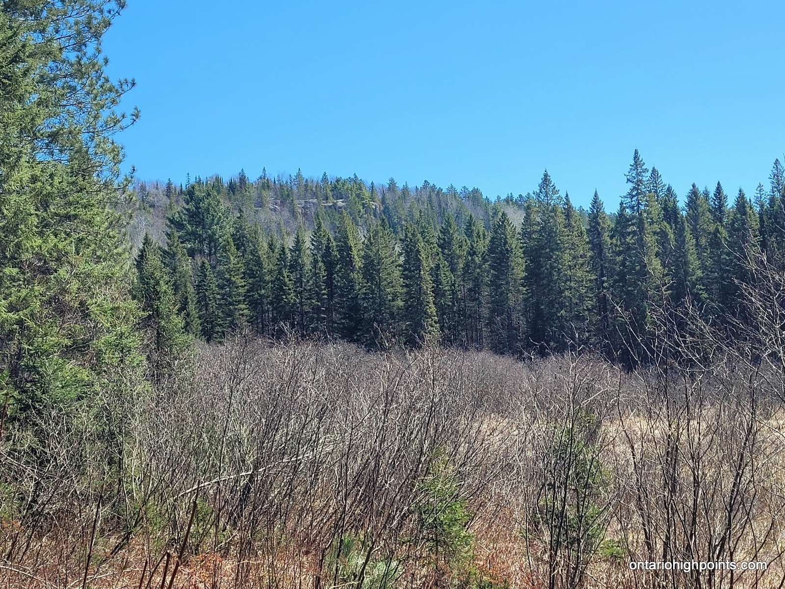
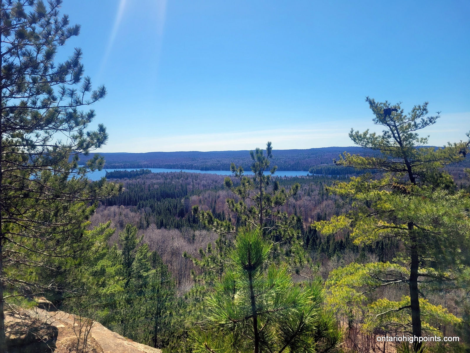
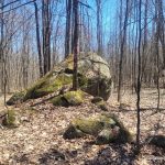
The trail begins by heading east for 0.6 km to a Loop Junction, where hikers should stay left (clockwise) and continue climbing 0.8 km northerly to the top of the Centennial Ridge cliffs, offering continuous great western views for 200 meters. At a large erratic (N45.56210 W78.41715), depart the trail and bushwhack east for 60 meters to reach Centennial Ridge Mountain (N45.56236 W78.41668). The summit is marked by another large erratic; this area features easy open deciduous woods and several erratics, though no views are available.
Return to the main trail, and follow it as it descends north, then turns right (east) and then skirts the north side of a pond. After 1.7 km from the Centennial Ridge Mountain bushwhack, the trail turns right (south), with an arrow pointing the way. Continue south for 200 meters, ascend a crest where the trail makes a right/left switchback, as indicated on maps. To the southeast, a fault/chute in the rock face can be seen, providing an off-trail route to the MacDougall summit.
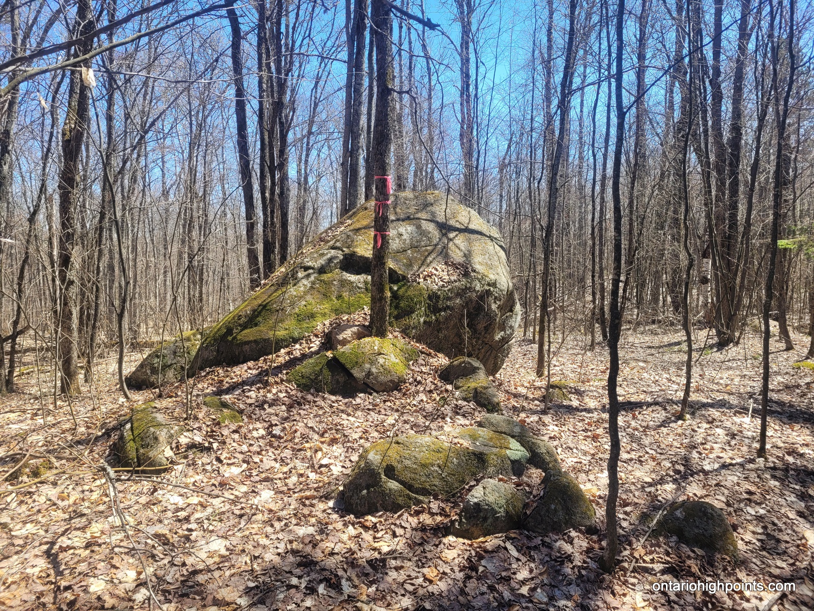
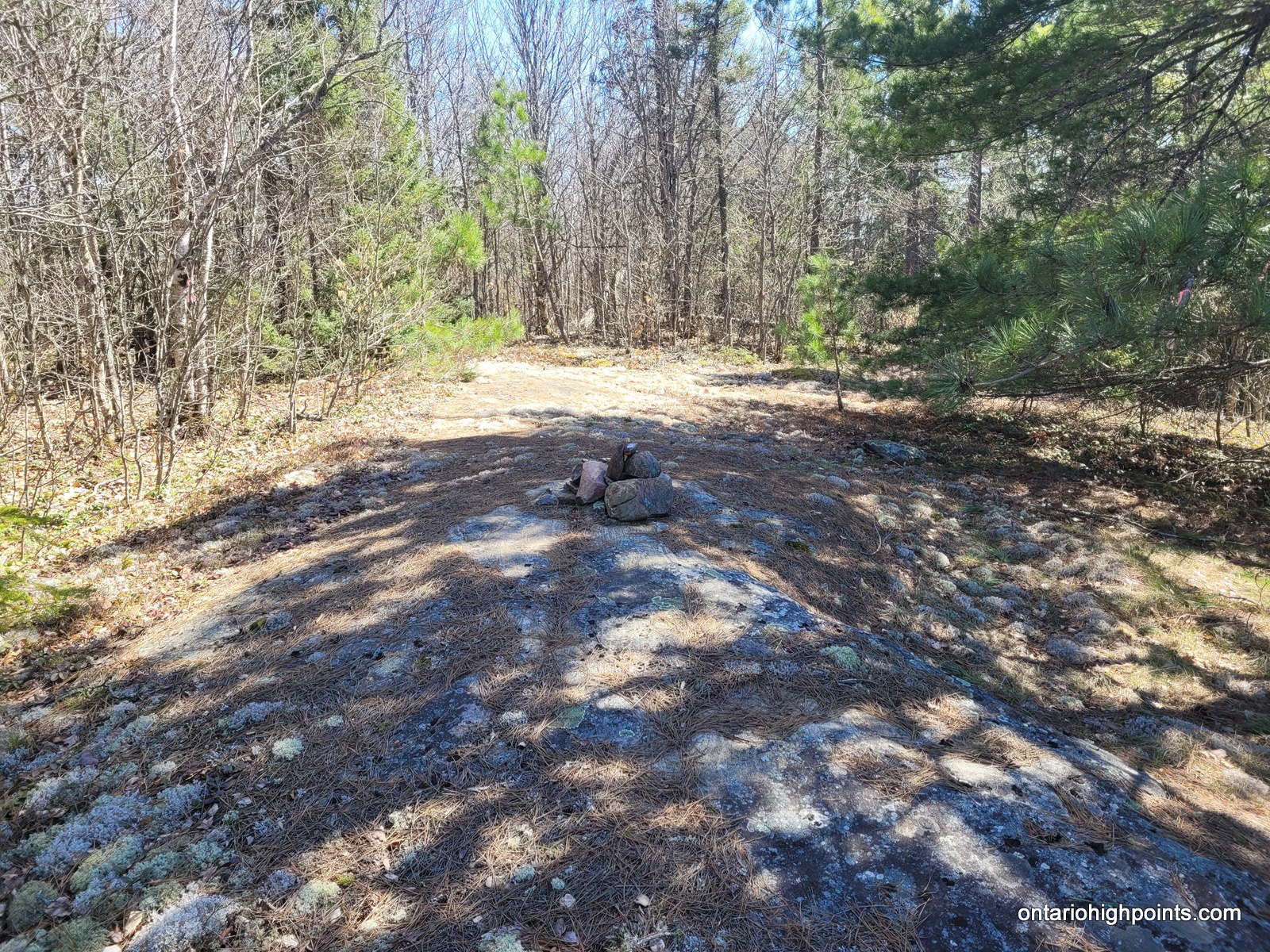
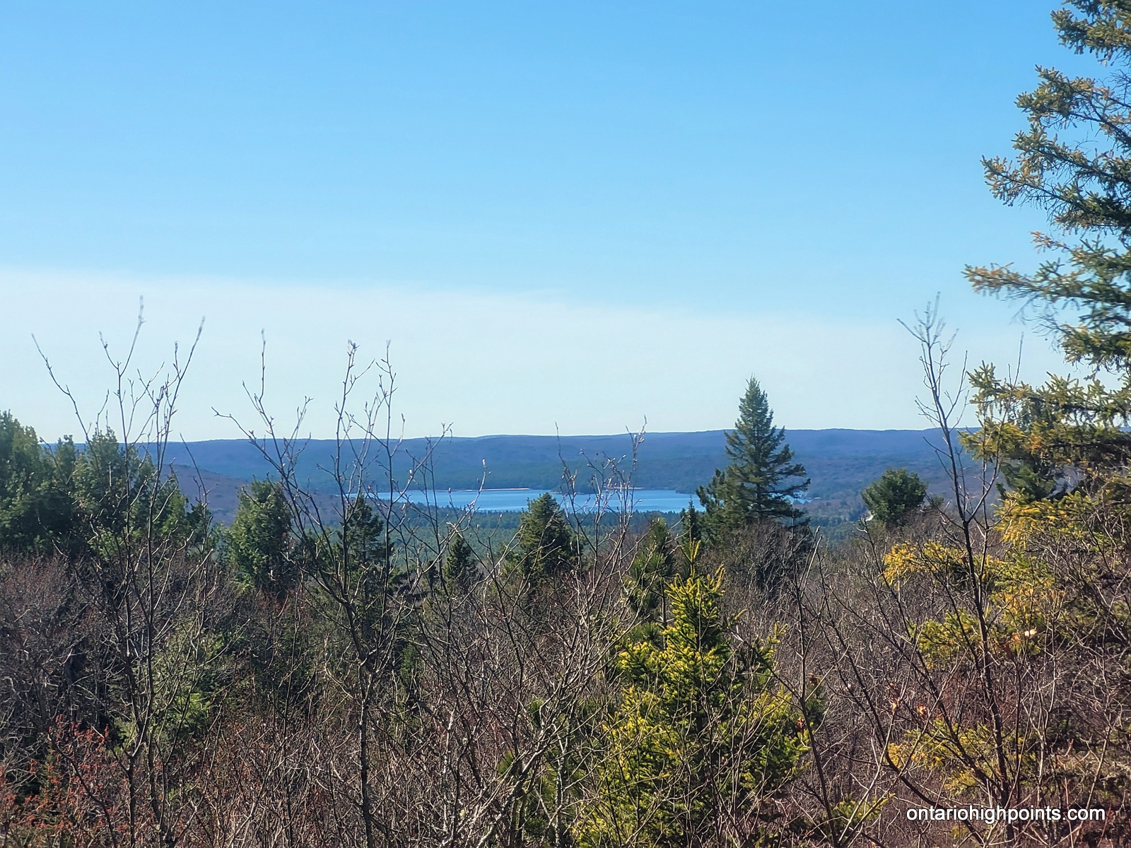
From here (N45.56875 W78.40829), a bushwhack to the rock face leads to a scramble up the fault to the top, followed by an easy walk along a fairly flat ridge to the summit of MacDougall Mountain (N45.56789 W78.40721). This summit features a moss-covered rock outcrop in a small clearing amid open deciduous woods, offering partial views to the west. A rock cairn marks the summit.
View a larger version of the map
Trip Summary:
0.0 km – Departed trailhead (1:26 PM)
1.4 km – Arrived at Centennial Ridge Mountain summit (1:56 PM)
3.1 km – Departed Centenntial Ridges Trail / Start of bushwhack (2:34 PM)
3.4 km – Arrived at MacDougall Mountain summit (2:46 PM)
6.6 km – Arrived back at the trailhead (3:43 PM)
Gallery:
-
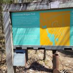
- Centennial Ridges Trailhead Sign
-
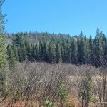
- First view of the Centennial Ridges
-
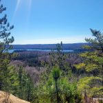
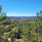
- First view from the Centennial Ridges
-
- The summit of Centennial Ridge Mountain
-
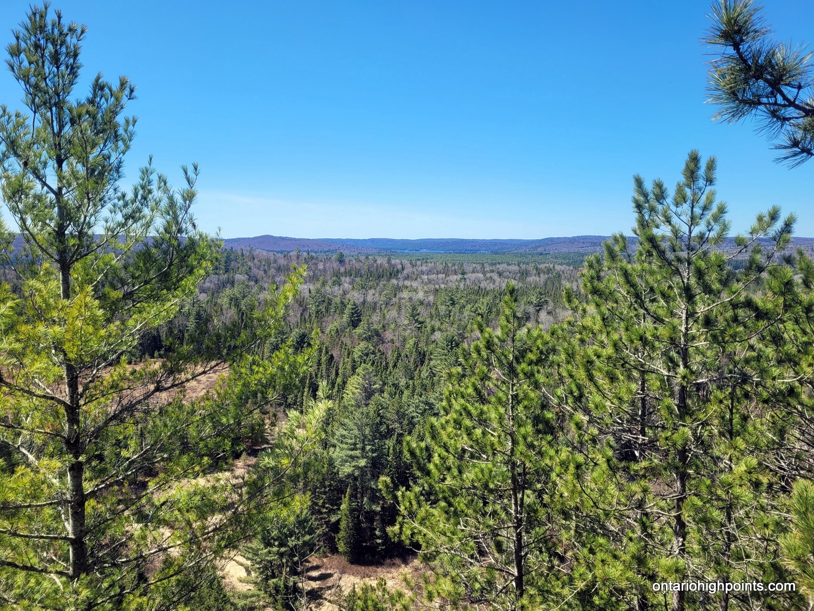
- View west from Centennial Ridges
-
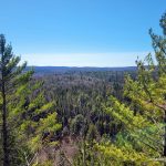
- Another view from the Centennial Ridges
-
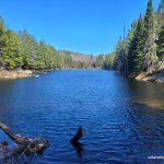
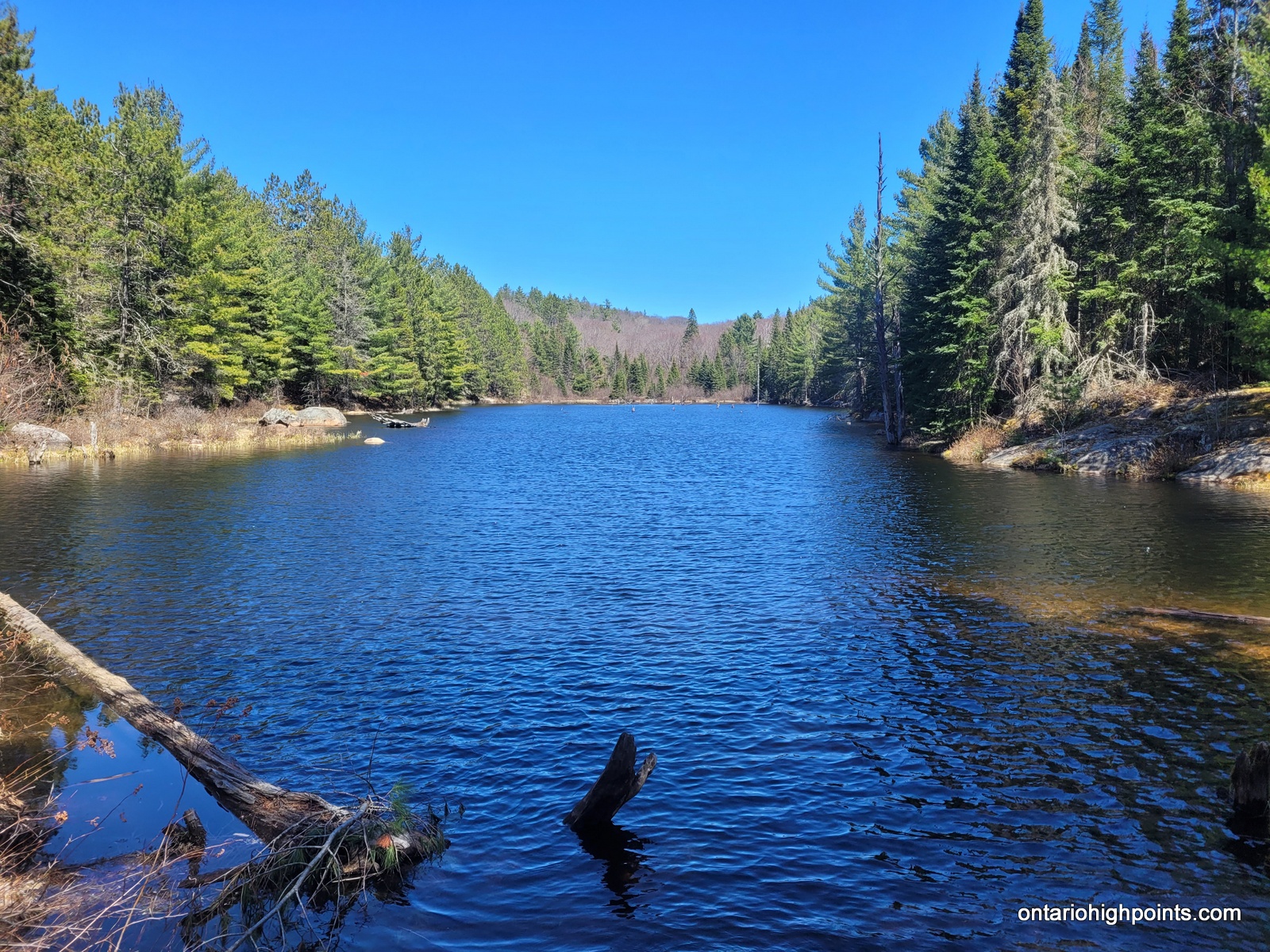
- Pond on route to MacDougall Mountain
-
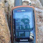
- GPS Elevation of MacDougall Mountain
-
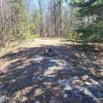
- Summit of MacDougall Mountain
-
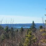
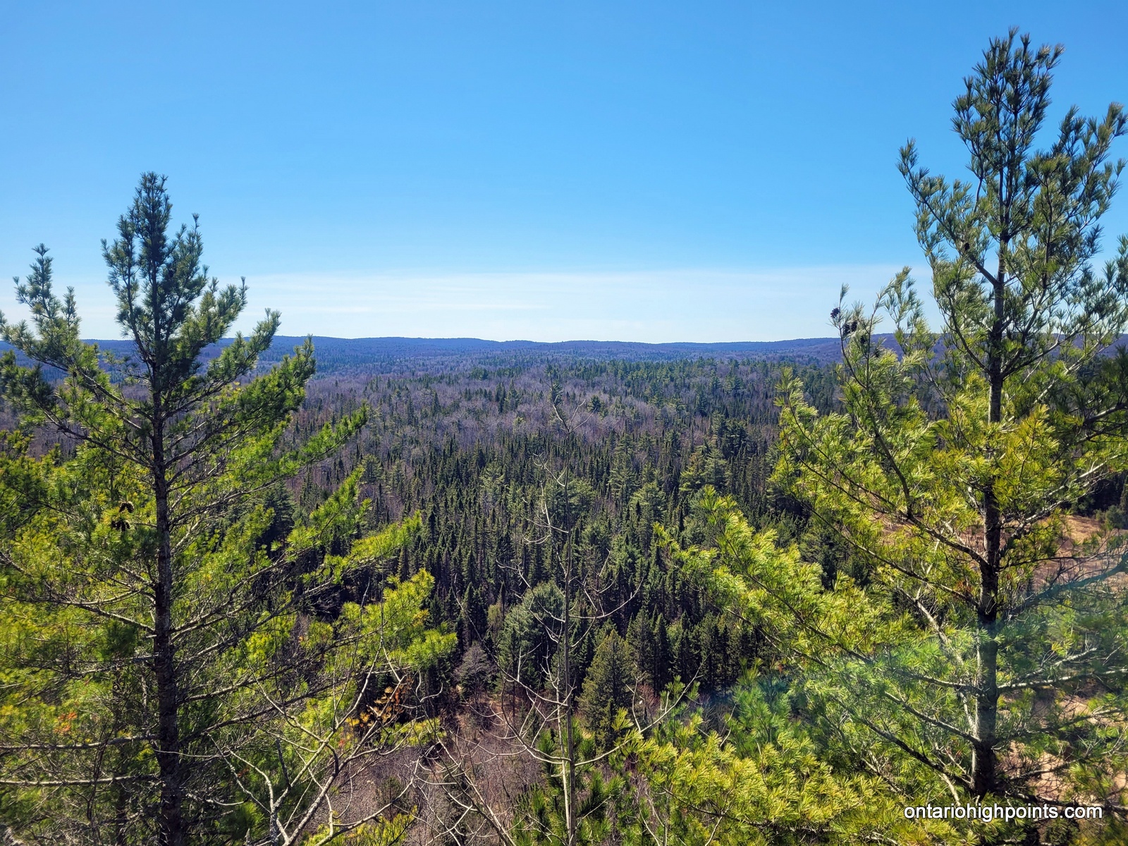
- View from MacDougall Mountain
GPS Tracklog (GPX Format):
MacDougall / Centennial Ridge Mountain GPS Track (.gpx format)