White Mountain / Heaven’s Gate Trail
Posted by Derek on Sep 25, 2024
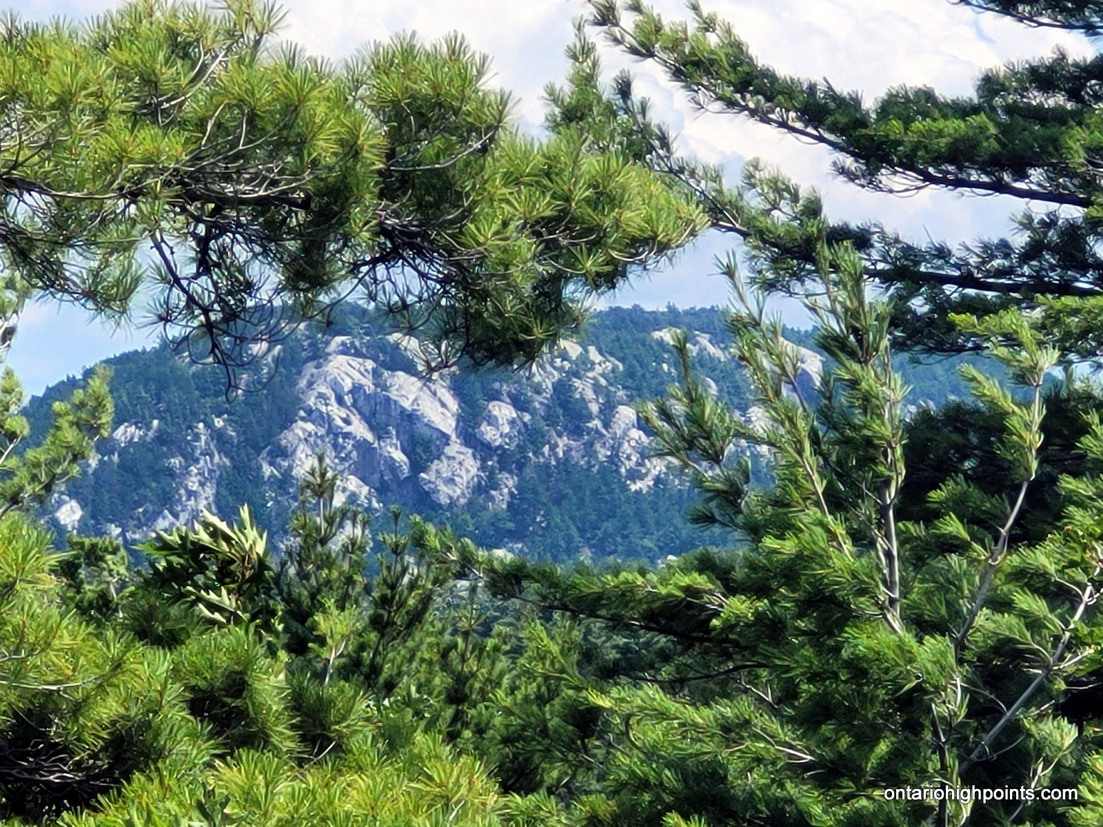
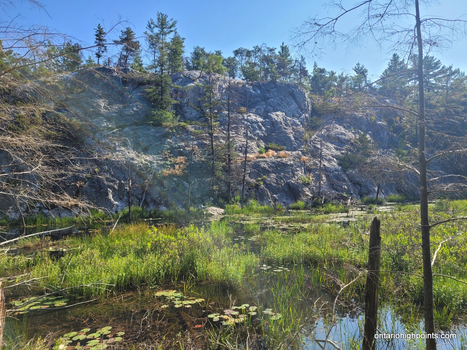
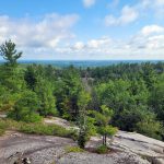
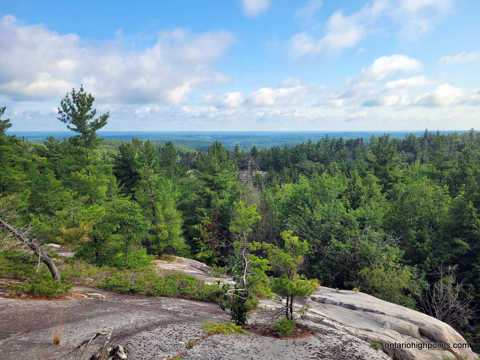
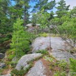
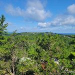
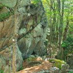
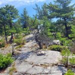
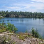
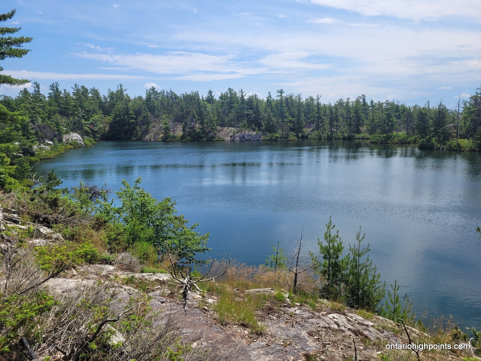
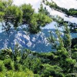
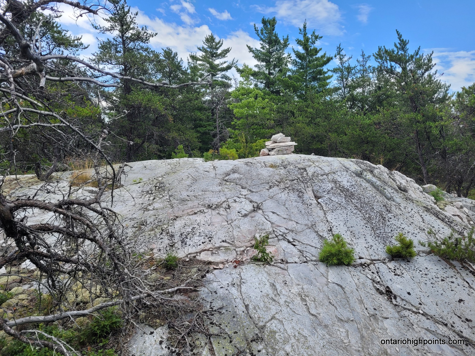
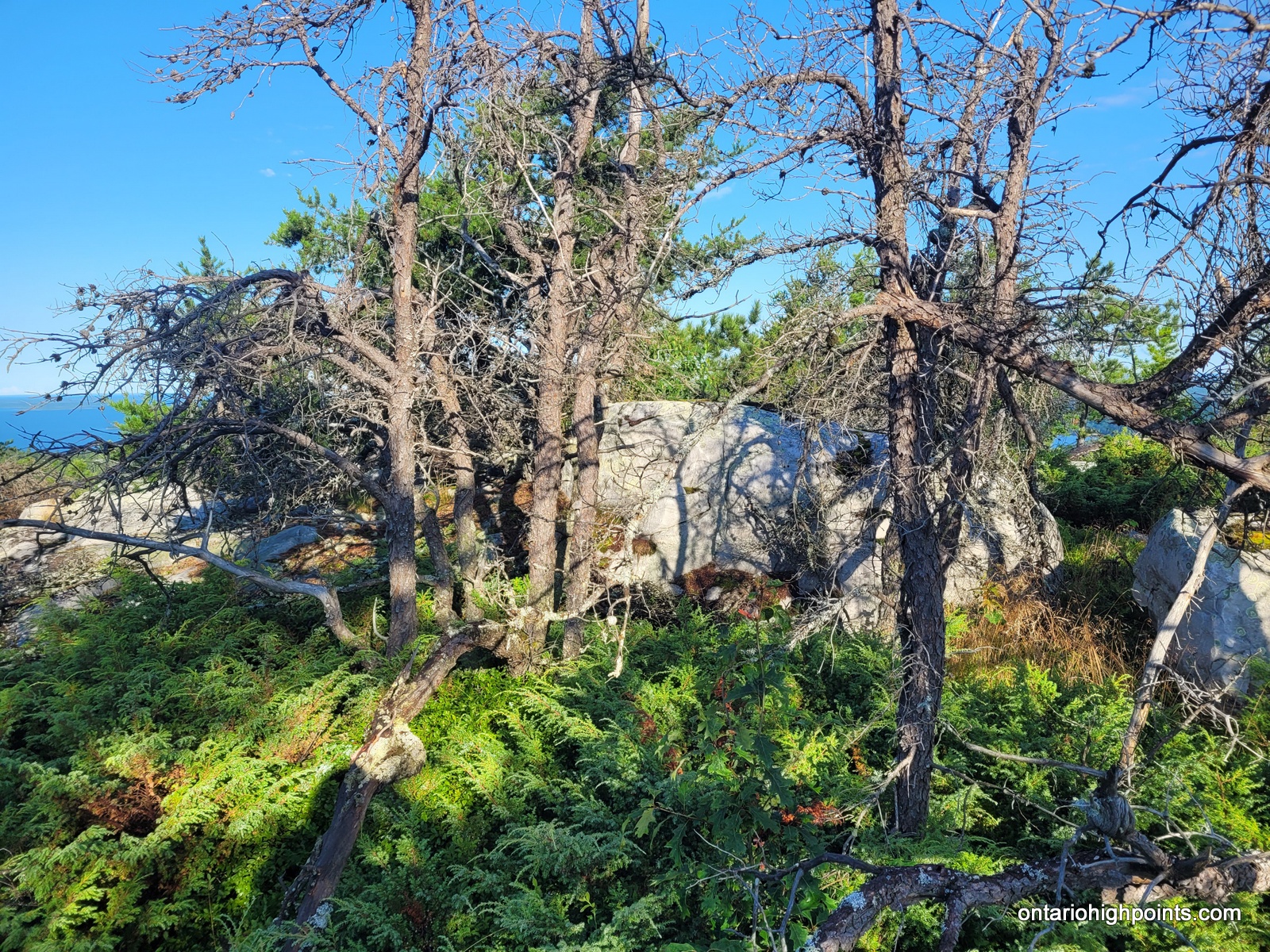
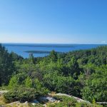
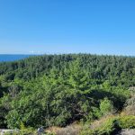
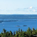
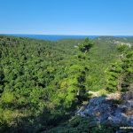
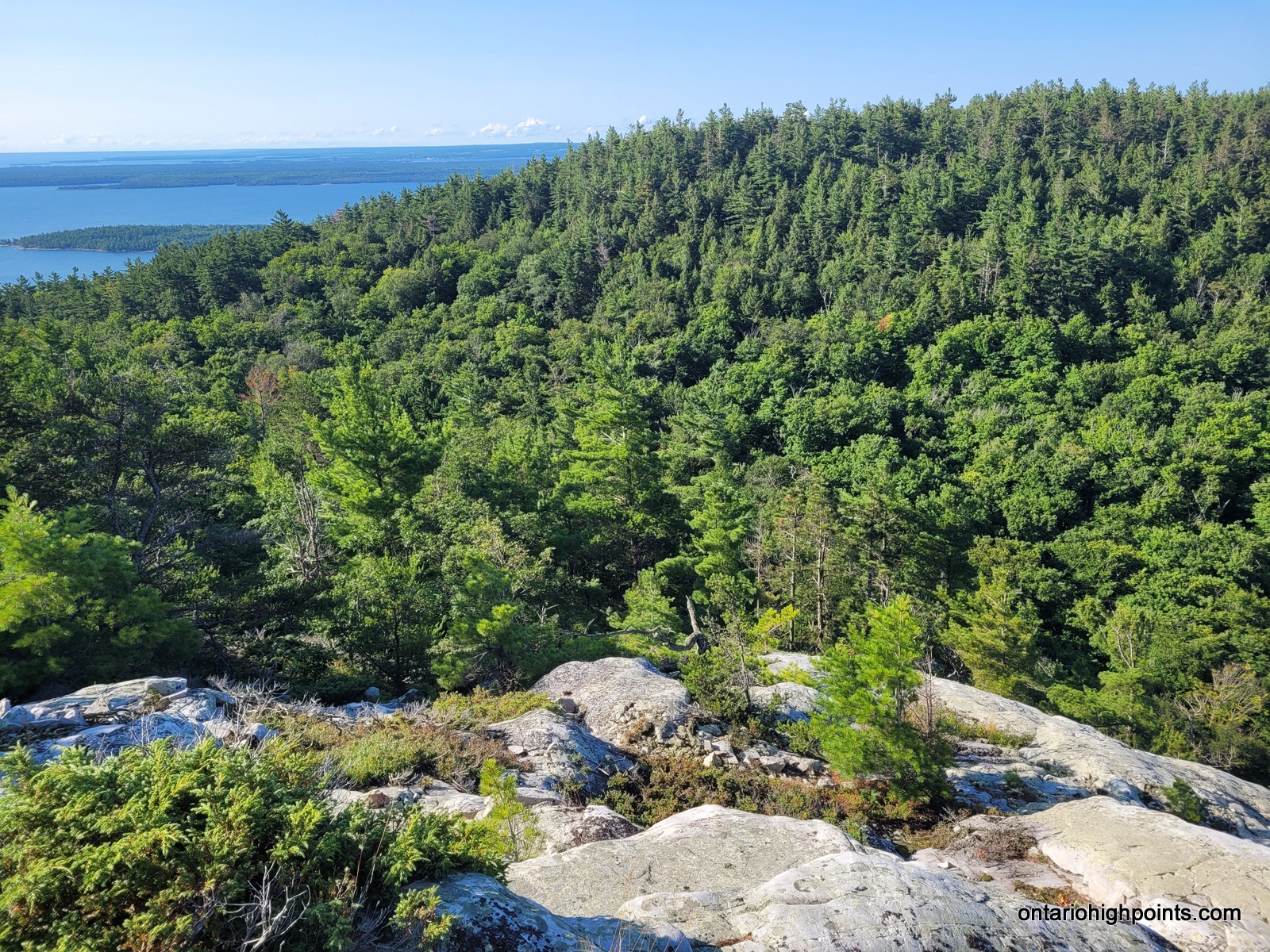
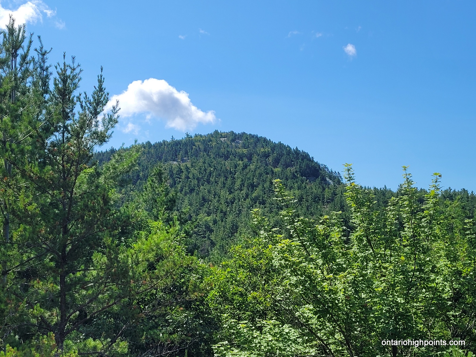
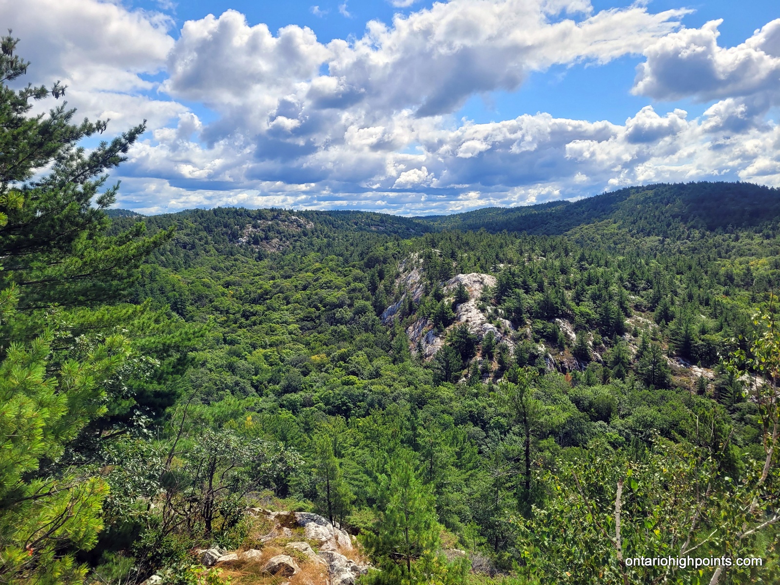
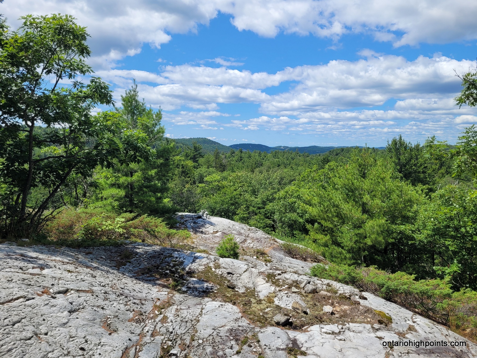
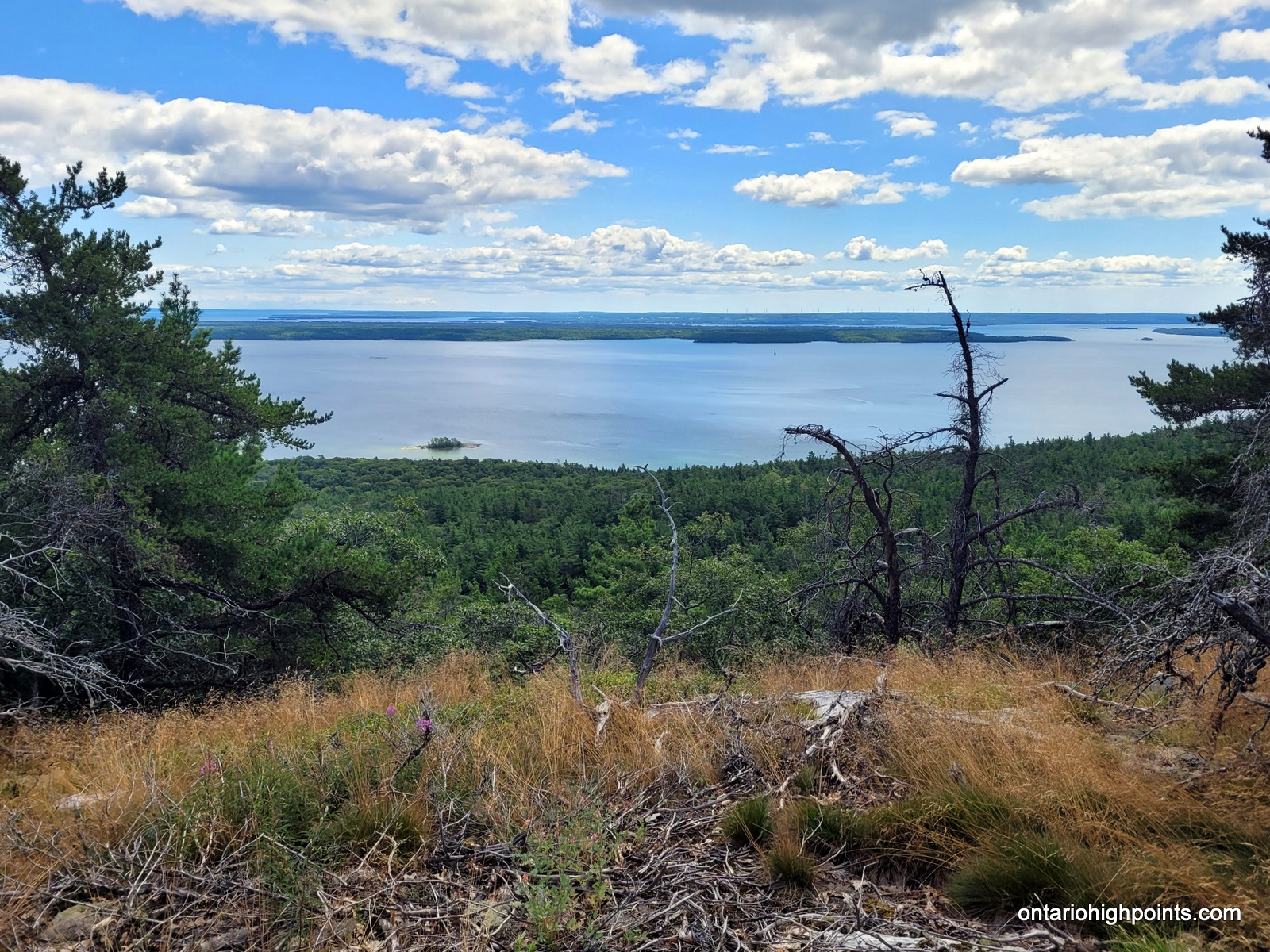
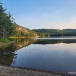
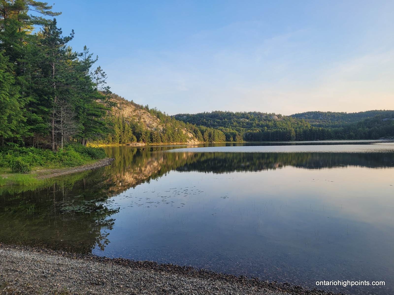
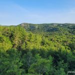
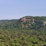
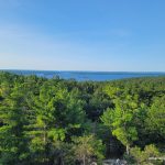
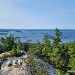
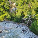
View of White Mountain
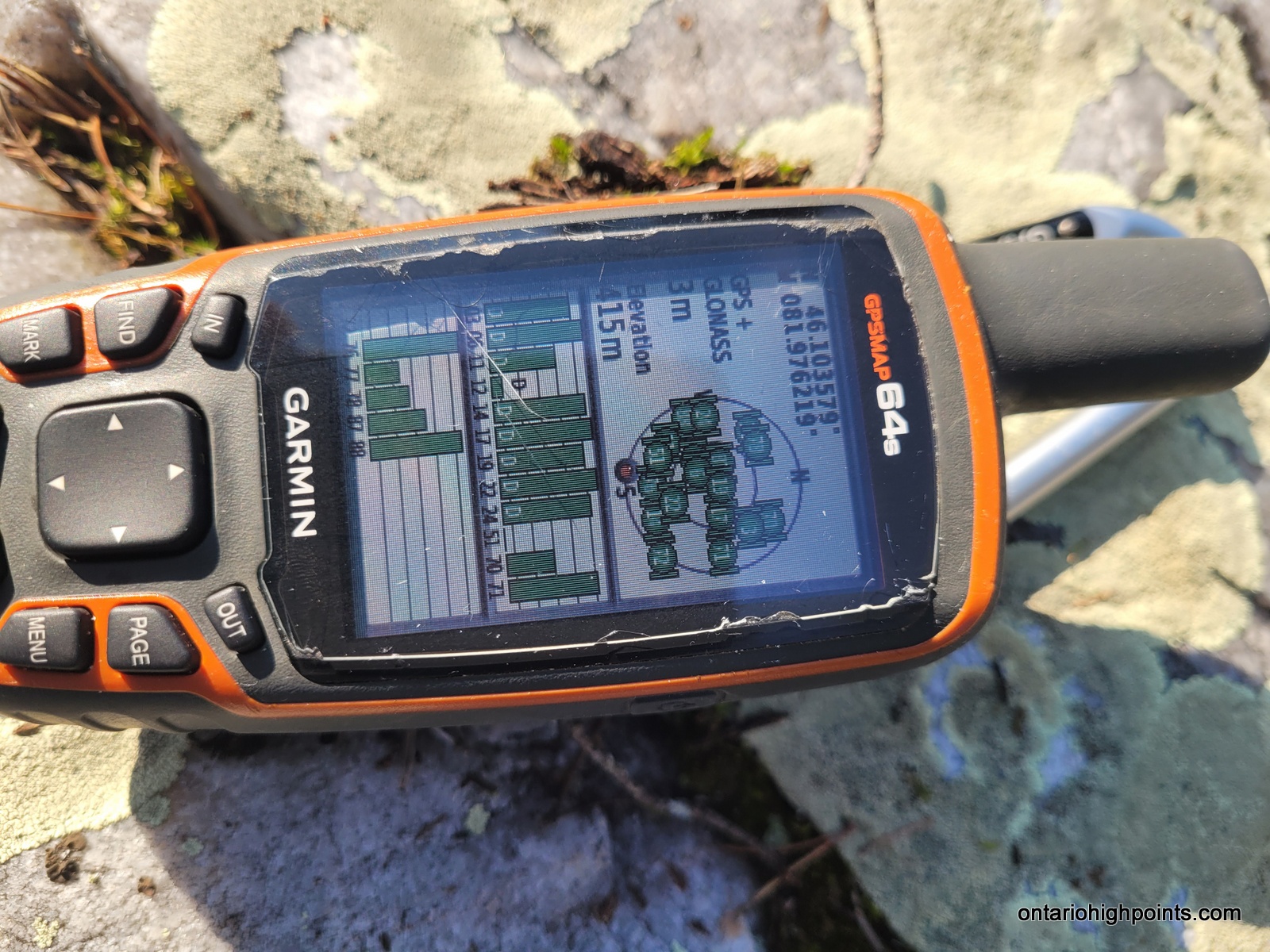
Height: 1362 feet / 415 meters
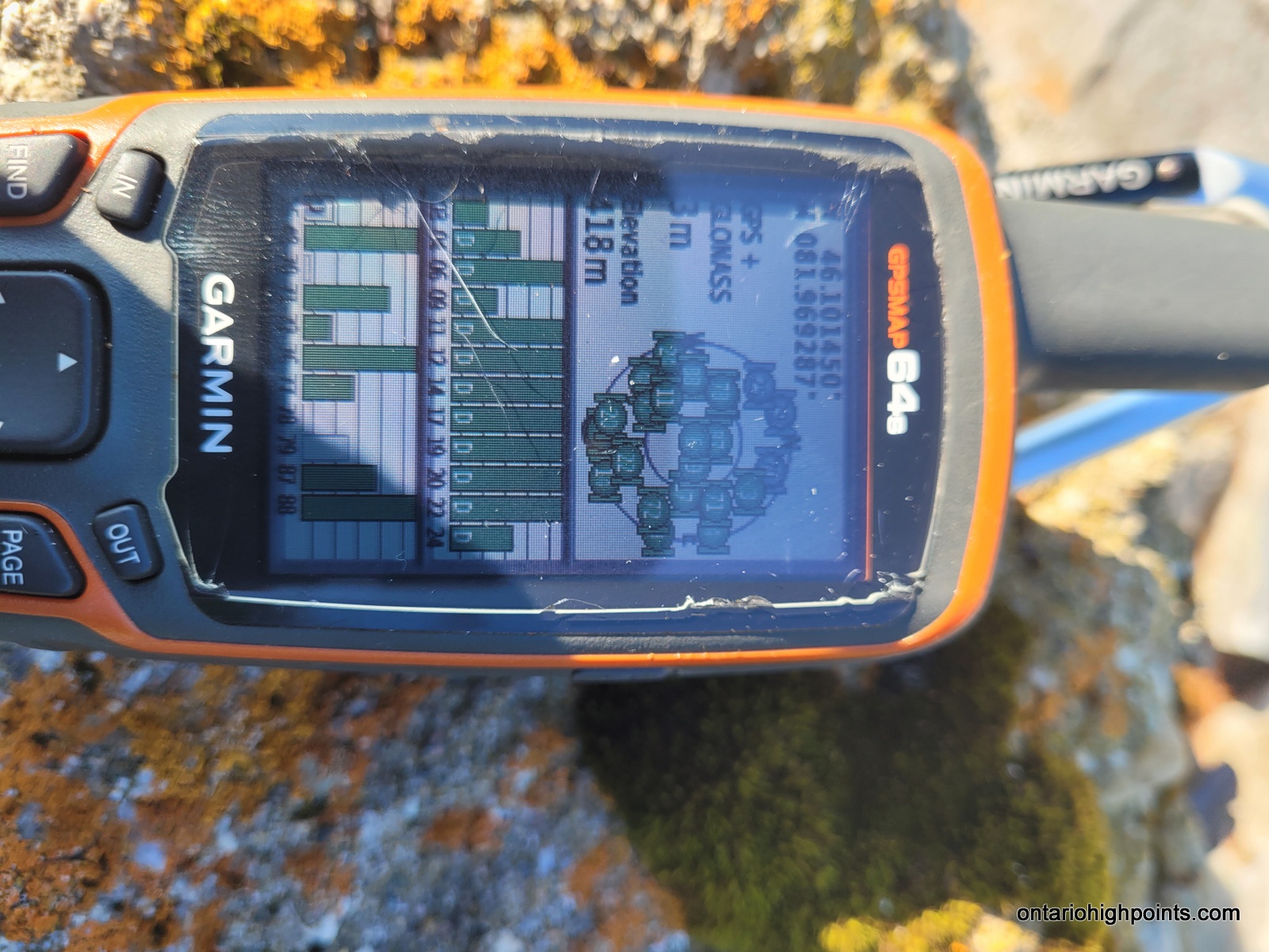
GPS recorded height: 1371 feet / 418 meters
Lat/Lon: N46.10145 W81.96931
Date Summited: July 18, 2024
White Mountain – West Peak
Height: 1362 feet / 415 meters
GPS recorded height: 1362 feet / 415 meters
Lat/Lon: N46.10359 W81.97624
Date Summited: July 18, 2024
Overview:
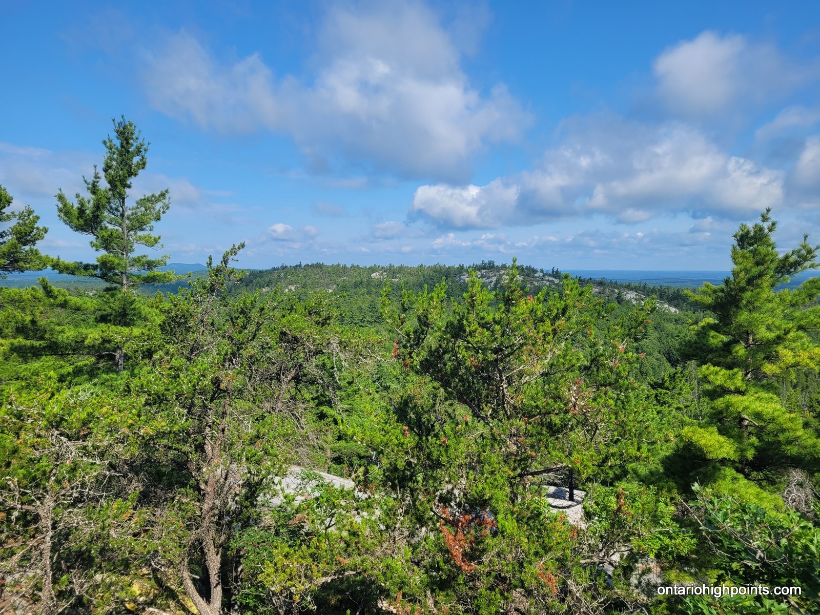
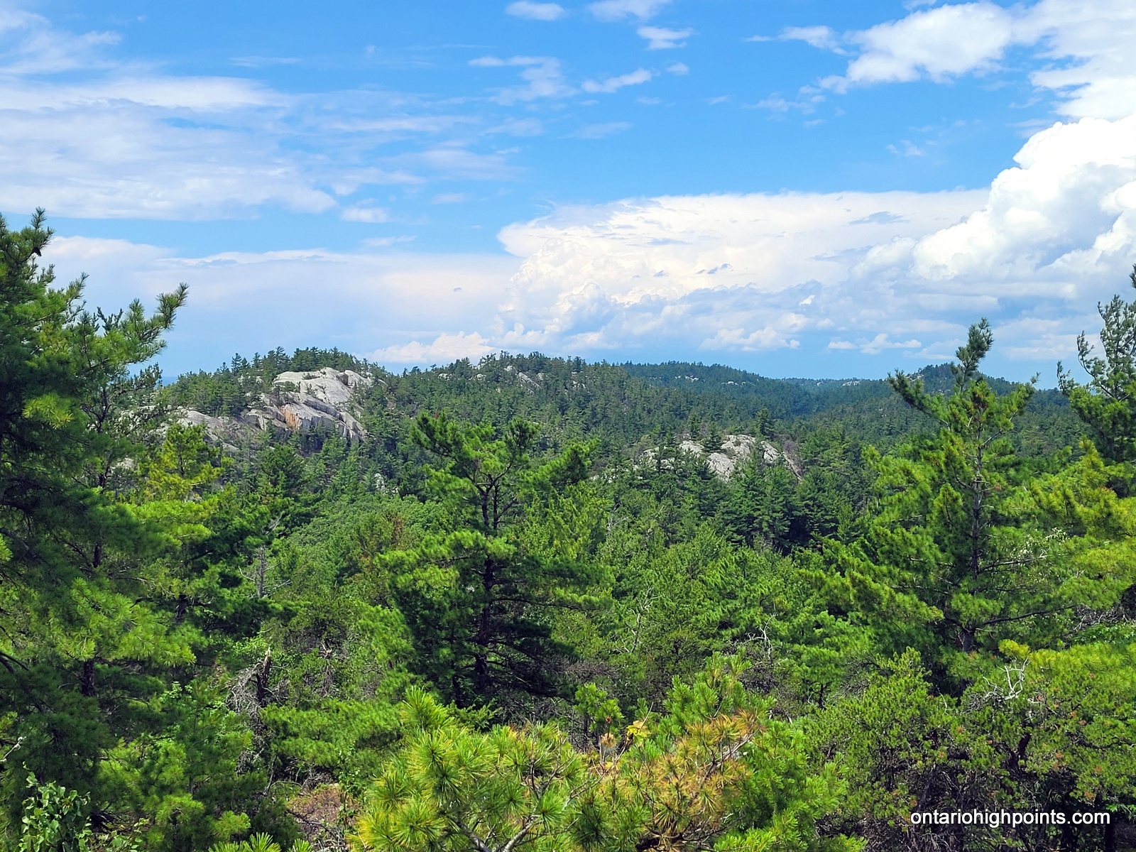
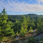
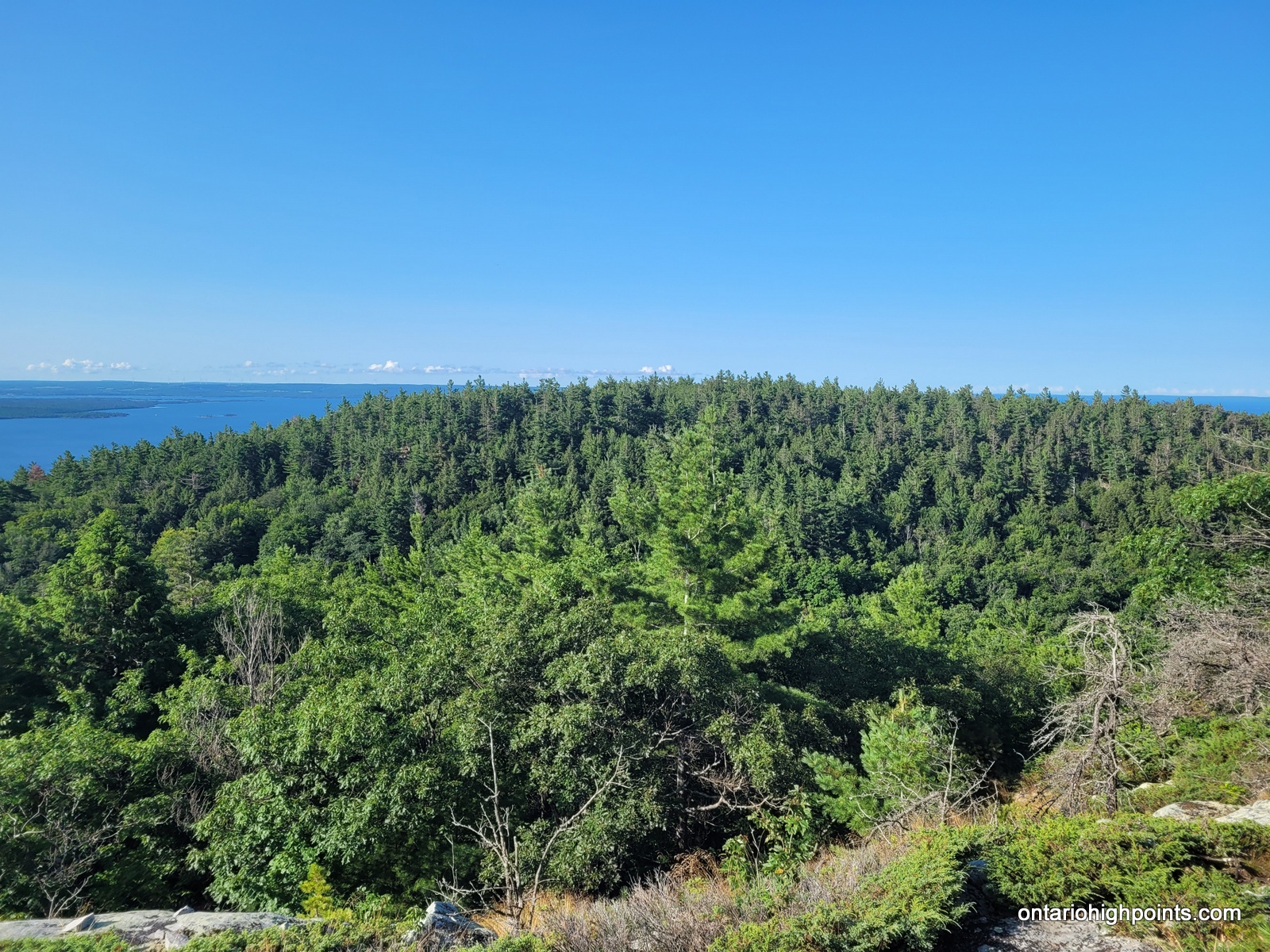
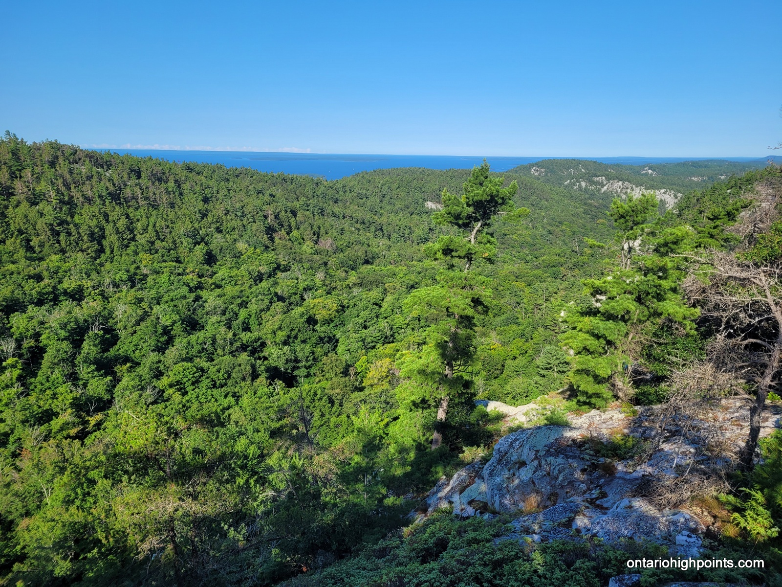
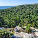
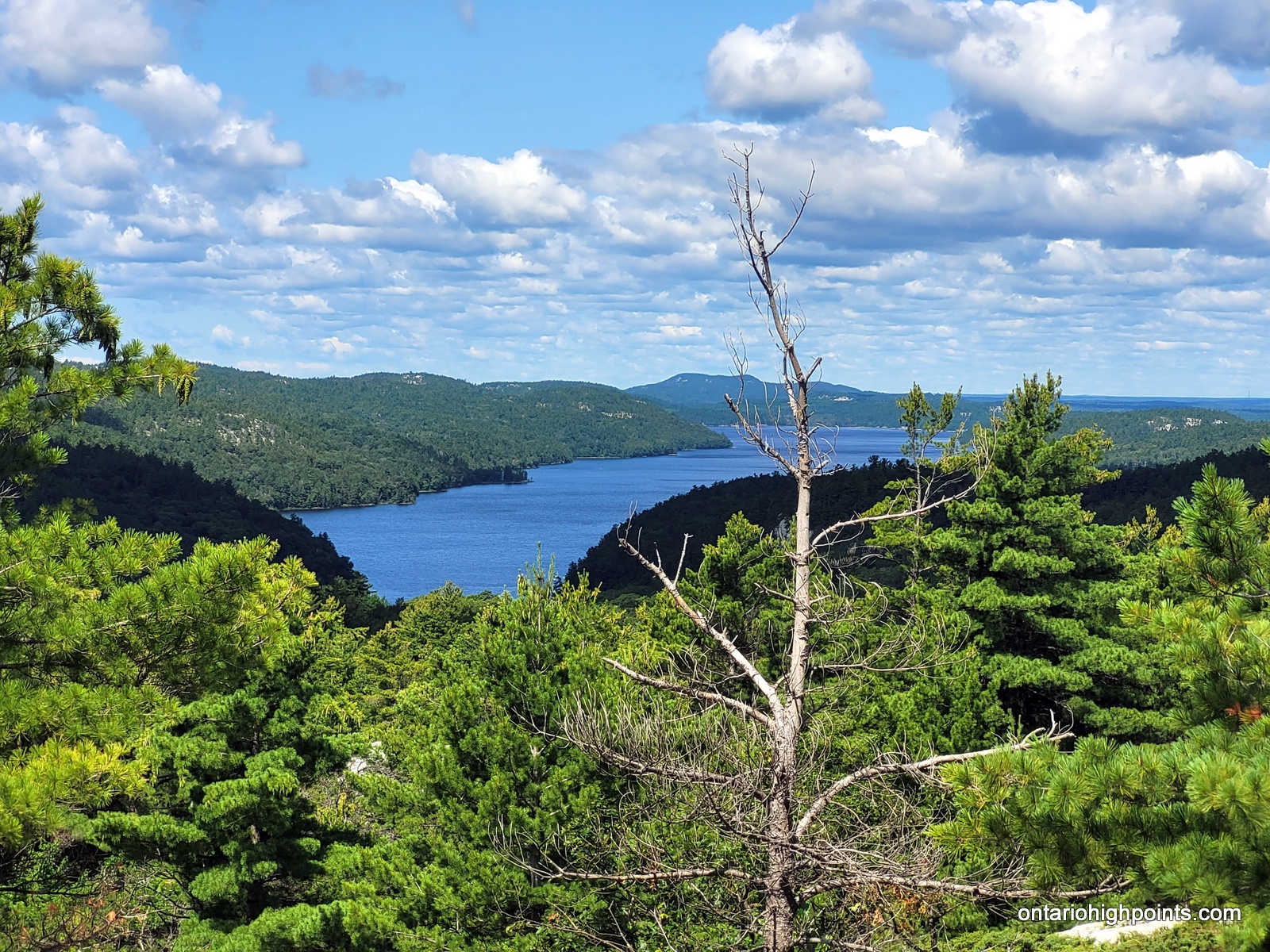
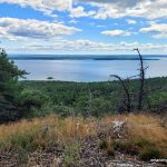
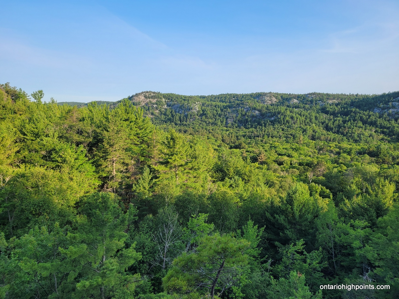
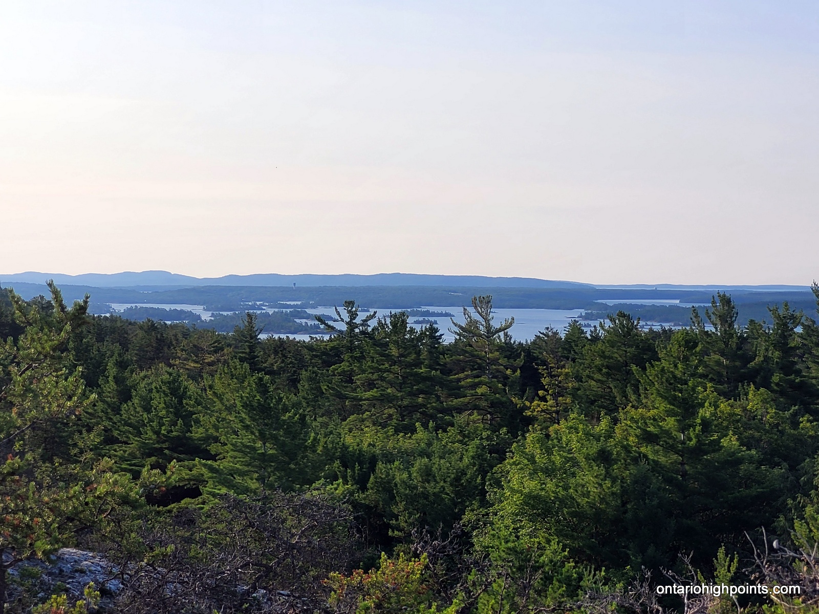
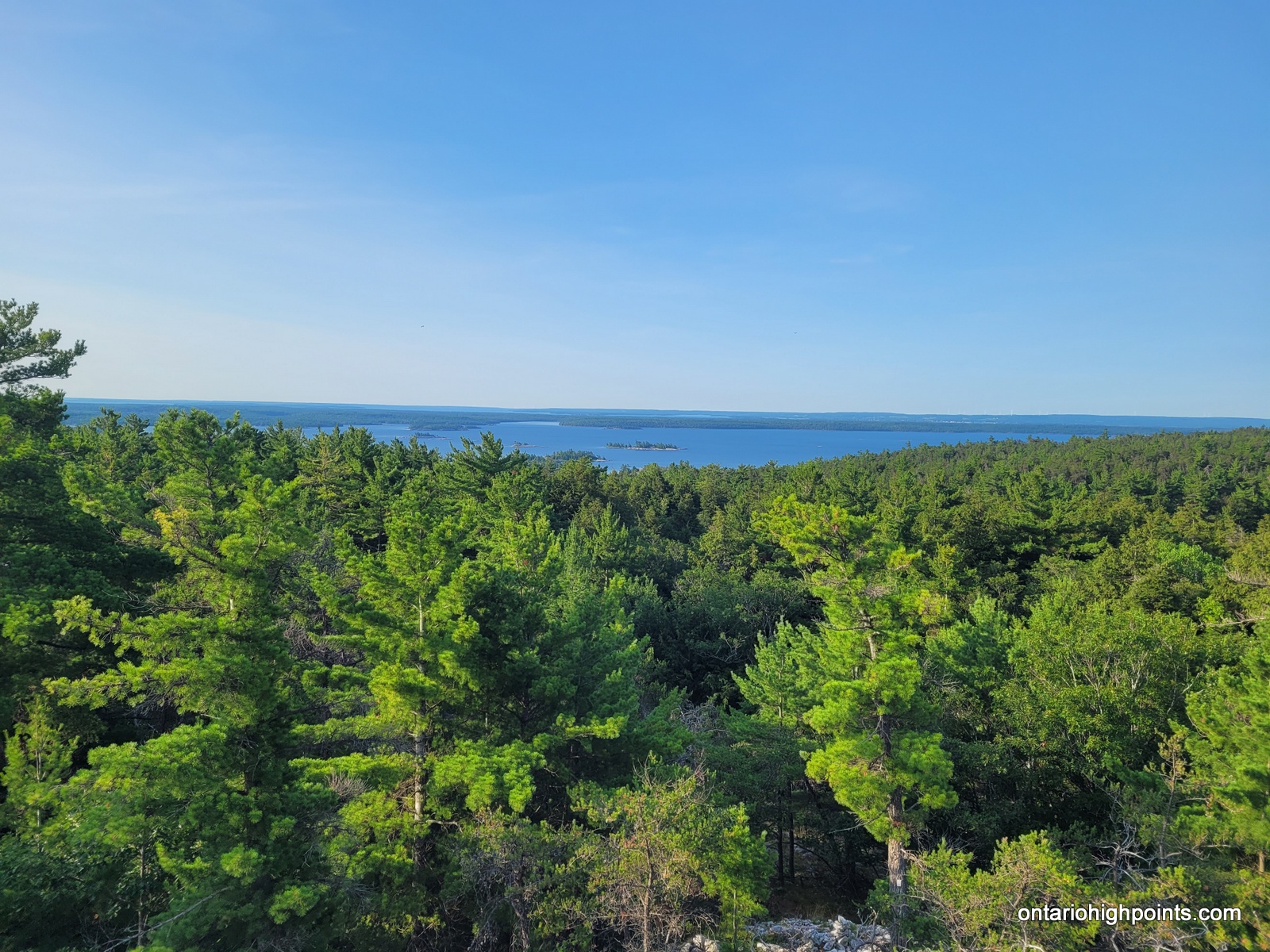
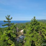
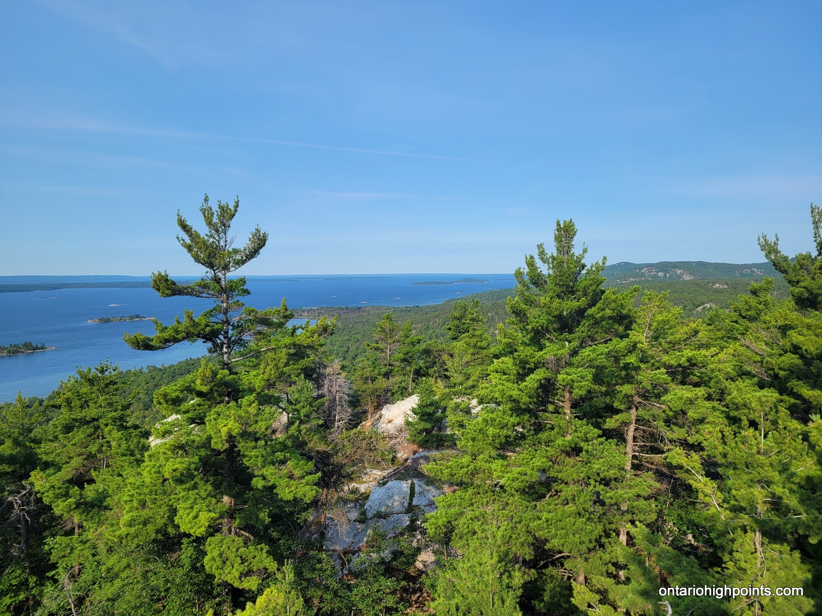
White Mountain is situated within La Cloche Provincial Park and ranks as one of the highest peaks in the western La Cloche Mountain Range. Although there are no established trails leading to the summit, the Heaven’s Gate (Kitchitwaa Shkwaandem) Trail comes within 1.5 km (northwest) of the peak. Adventurers can take a side trip to bushwhack their way to the mountain during a multiday backpacking trek along this trail. The mountain features two potential high points: an east peak and a west peak. Unofficial GPS measurements indicate that the east peak is slightly higher. From the summit, hikers can enjoy stunning views of Lake Huron’s North Channel.
Trip Report / Directions:
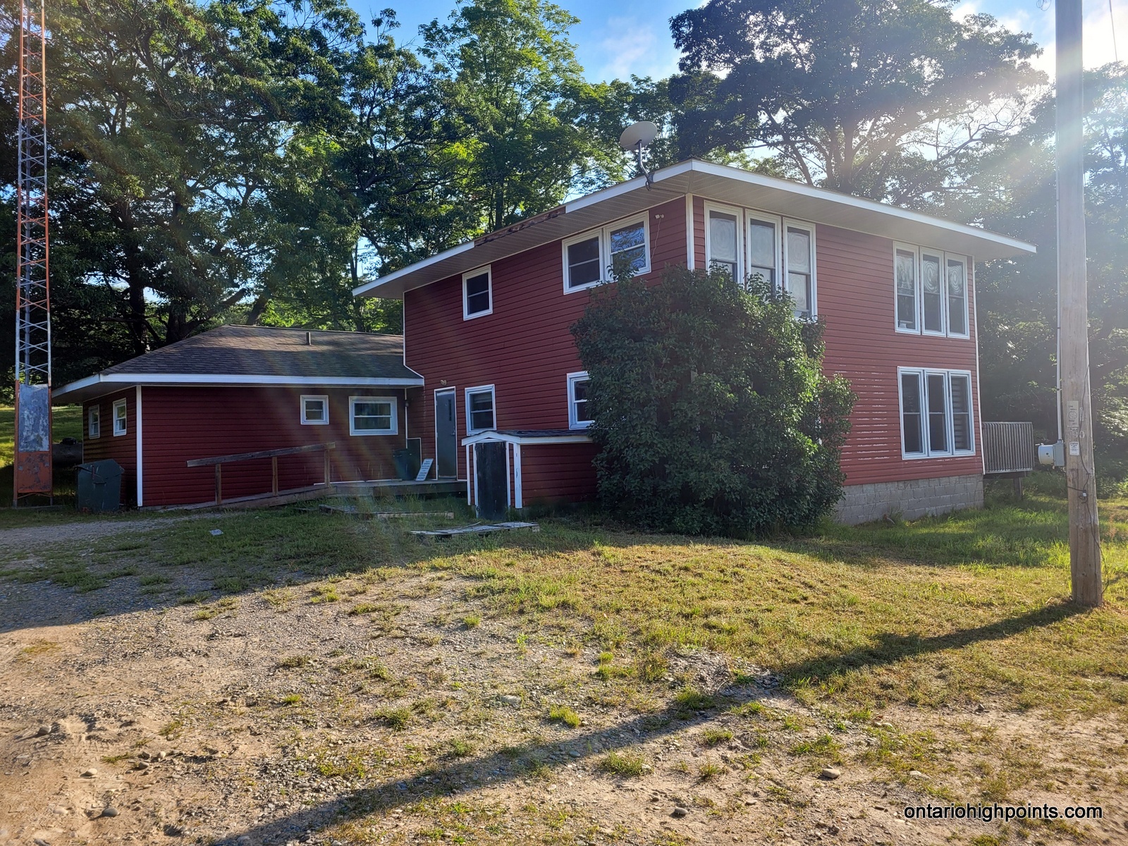
From highway 17, turn south at Massey and make your way through the Sagamok First Nation Reserve. After passing through the reserve, turn east onto a gravel road and follow it southeast for 3.5 km to the parking area at Fort La Cloche. This is where I was dropped off and began my 3 day backpacking trip on the Heaven’s Gate Trail.
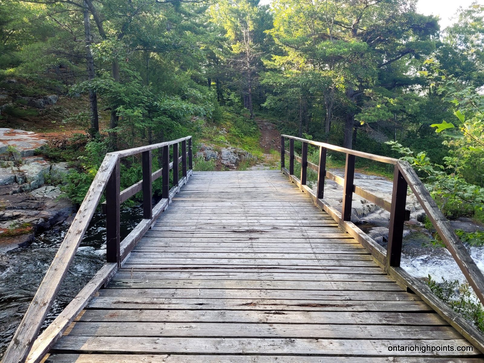
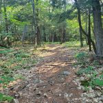
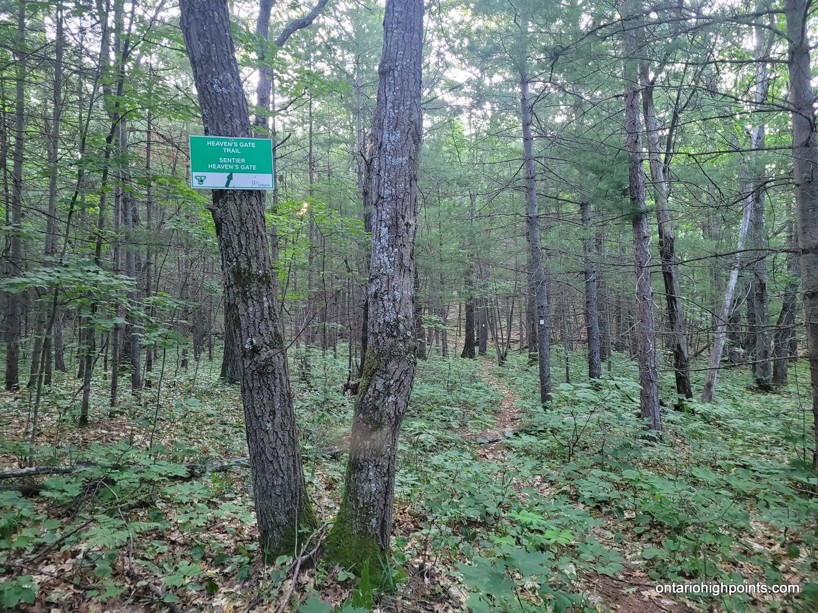
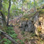
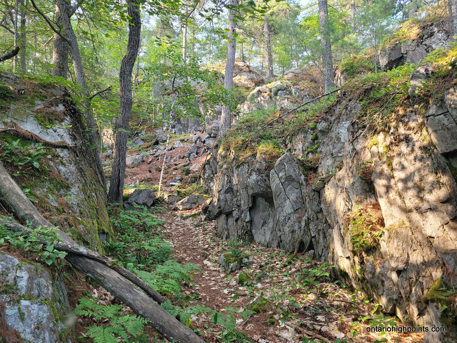
The trail starts at the bridge that crosses over the La Cloche River. Initially the trail is flat, easy to follow and well marked with plastic white blazes and orange tape. However after about 1.5 km, and as the trail begins to climb up the rocky ridgelines it becomes much more rugged and difficult to follow. Expect to lose the trail multiple times and have to backtrack to find it. Having a GPS with the trail downloaded on it would be a huge benefit.
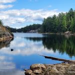
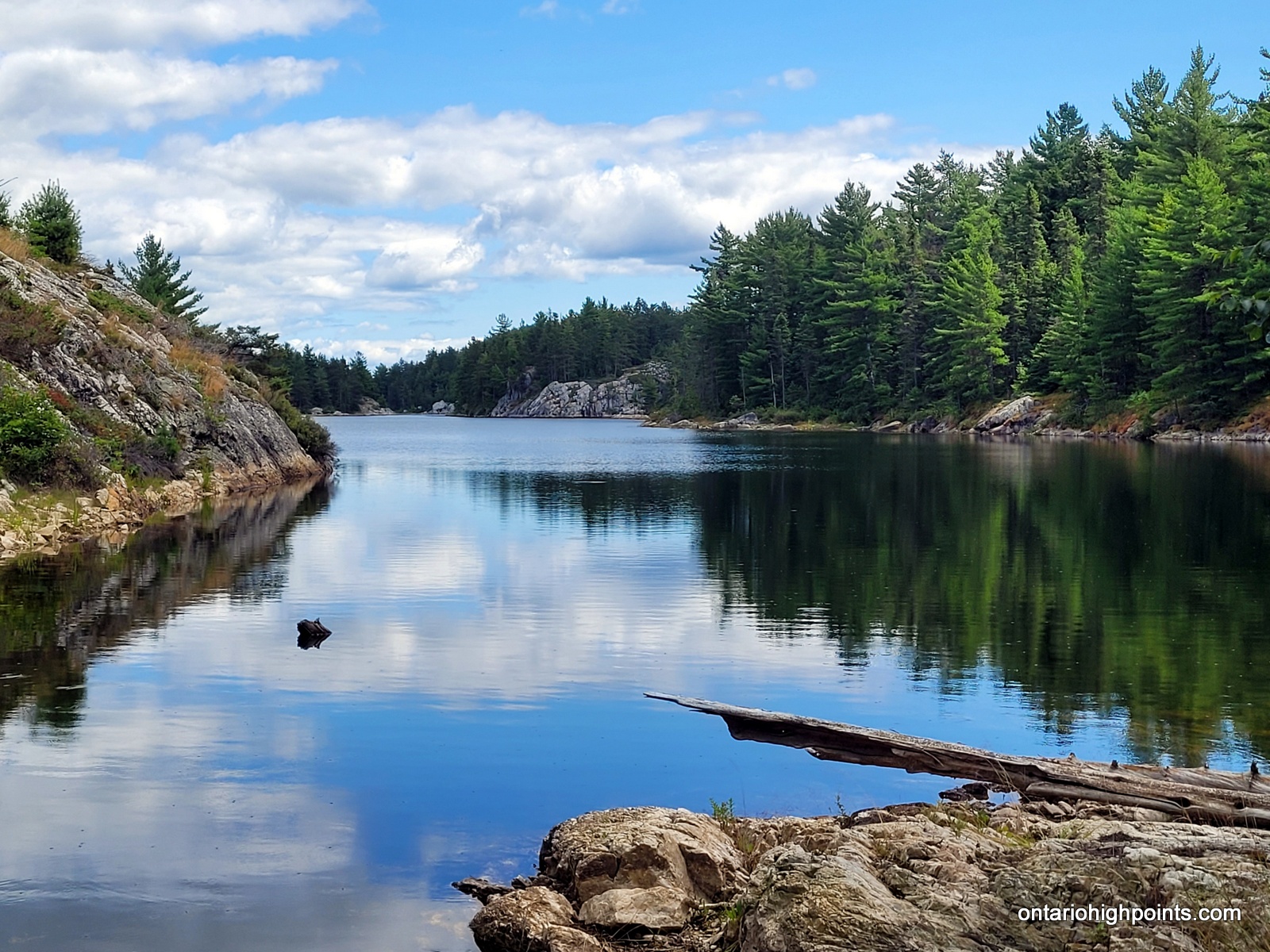
At 2.9 km I accidentally turned left onto a side trail and followed it to a campsite at an unnamed lake (at 3.6 km). I followed another trail south and a short time later rejoined the main trail. I decided to backtrack along the main trail back to where I veered off in order to get the GPS track of the main trail. Once this activity was completed, I continued east along the main trail.
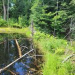
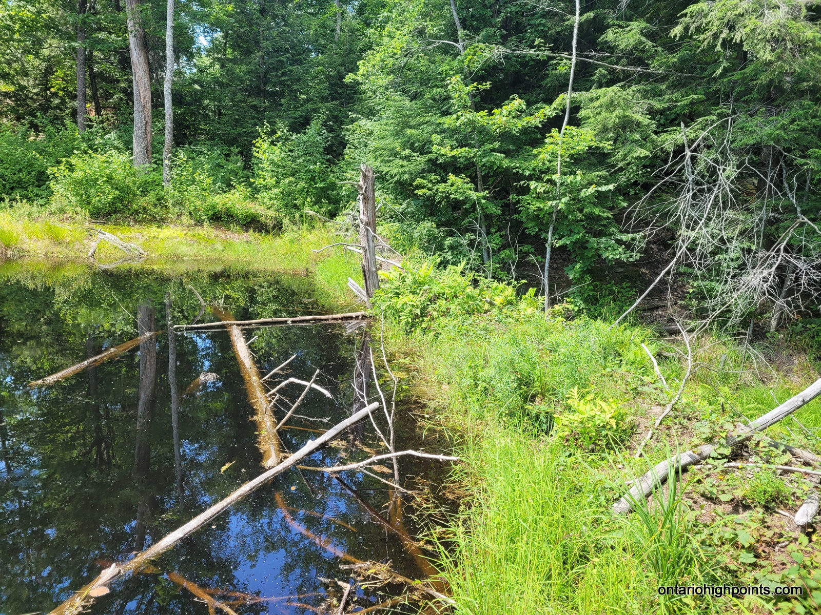
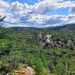
After crossing a rugged ridgeline, the trail turns south and descends towards Lake Huron and leads to a marshy area with a beaver pond. The trail is not well defined, nor well marked here. There are a few blazes here and there and they are often contradictory. I followed the trail as it made a U-shaped path back to the north, however there might be a short cut across the top of the U at the coordinates: N46.1029, W82.0254.
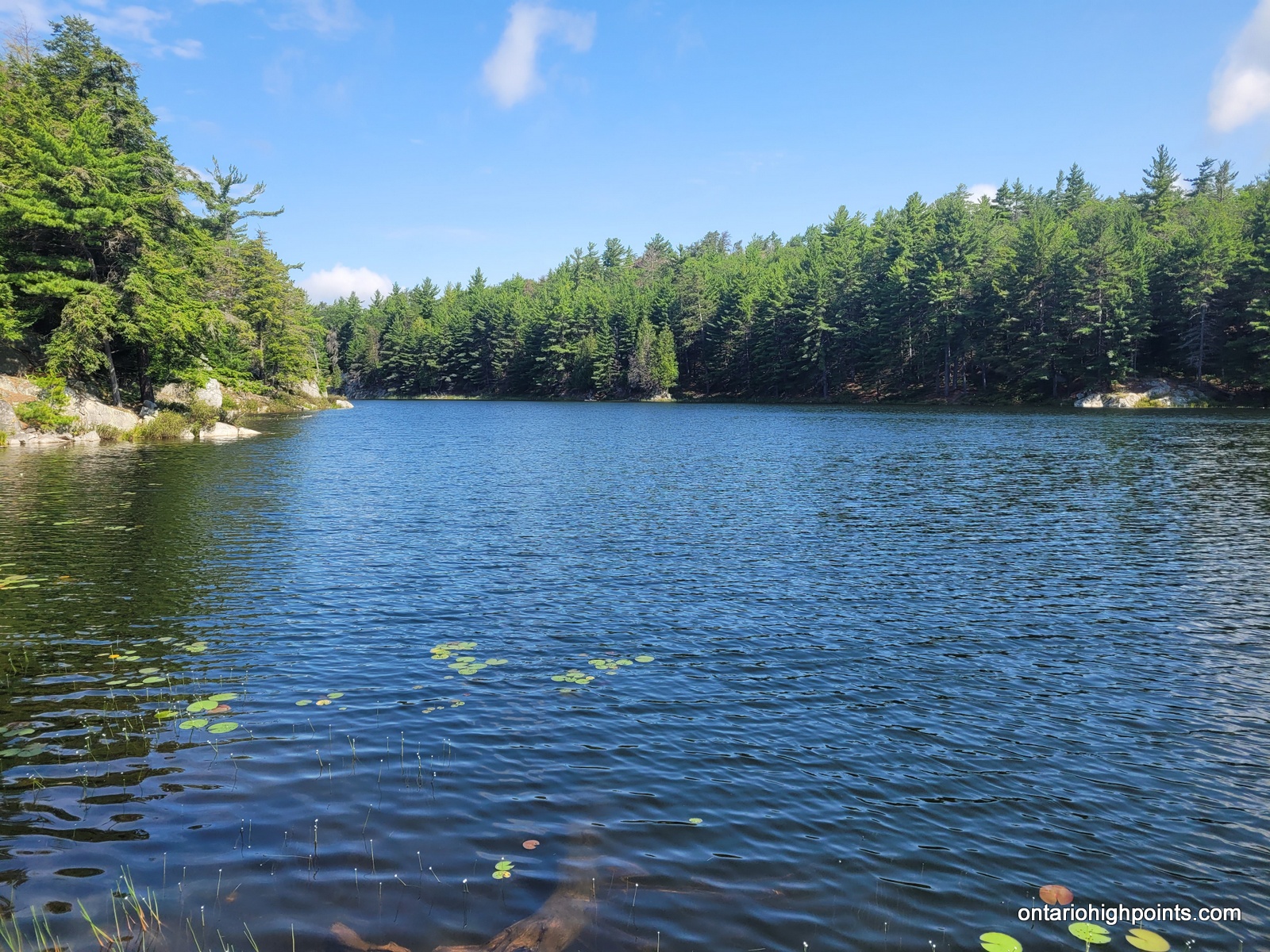
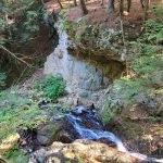
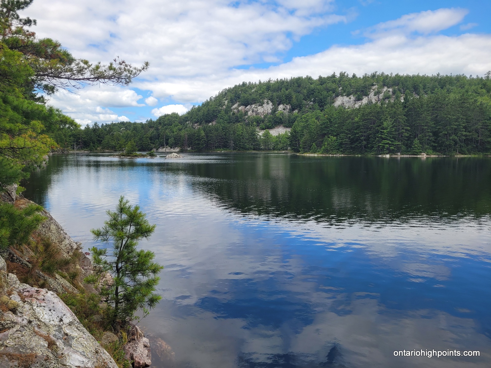
The trail ascends the ridgeline again and soon after passes by a nice campsite on an unnamed lake at km 8.2. After passing over a multitude of humps the trail descends to a valley and crosses a creek. This is where I made camp for the night. Immediately after setting up my camp, it began to rain — great timing.
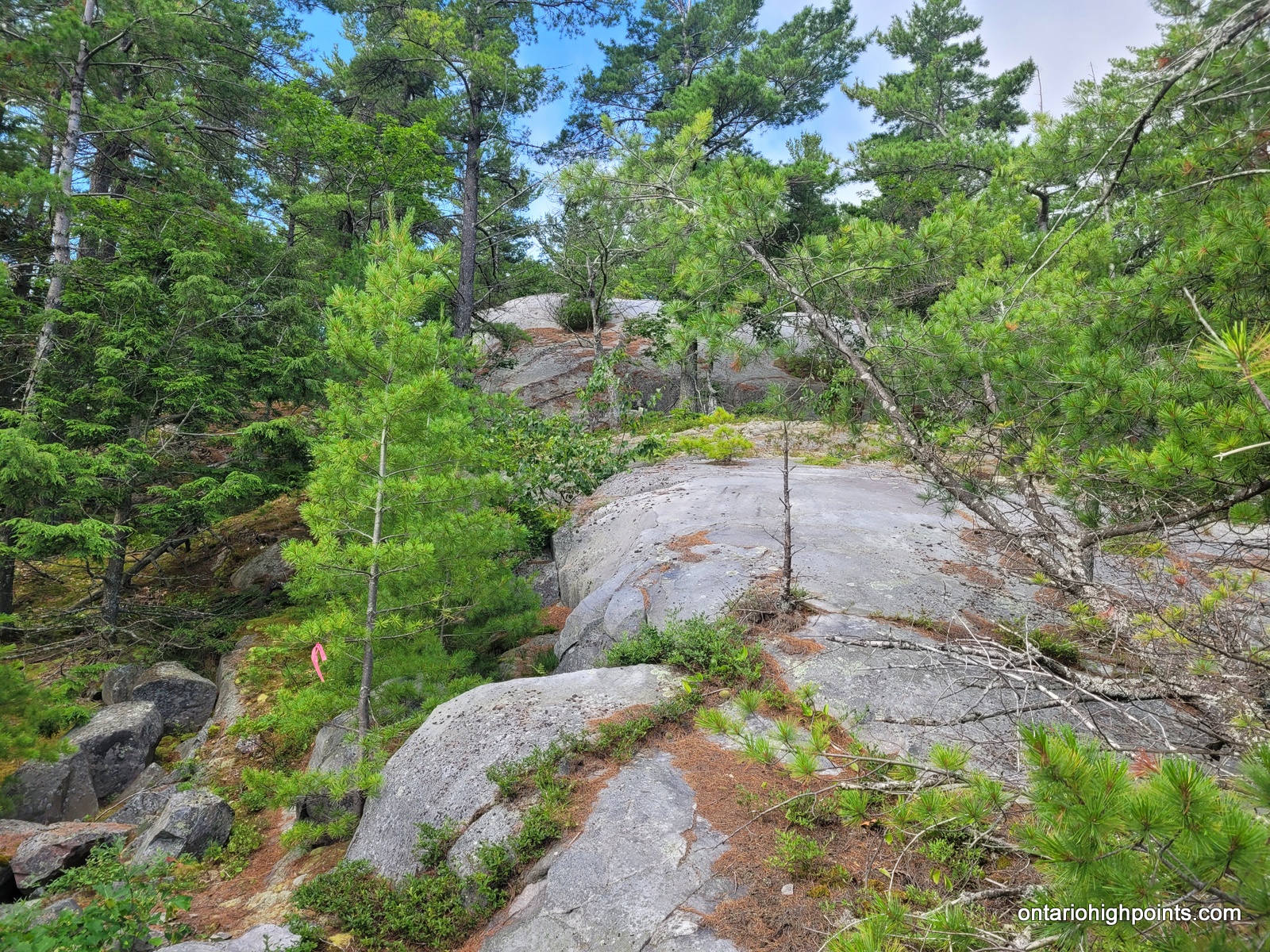
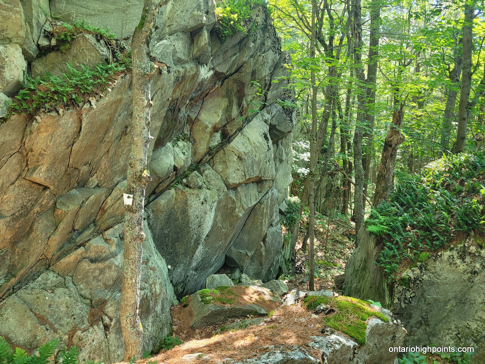
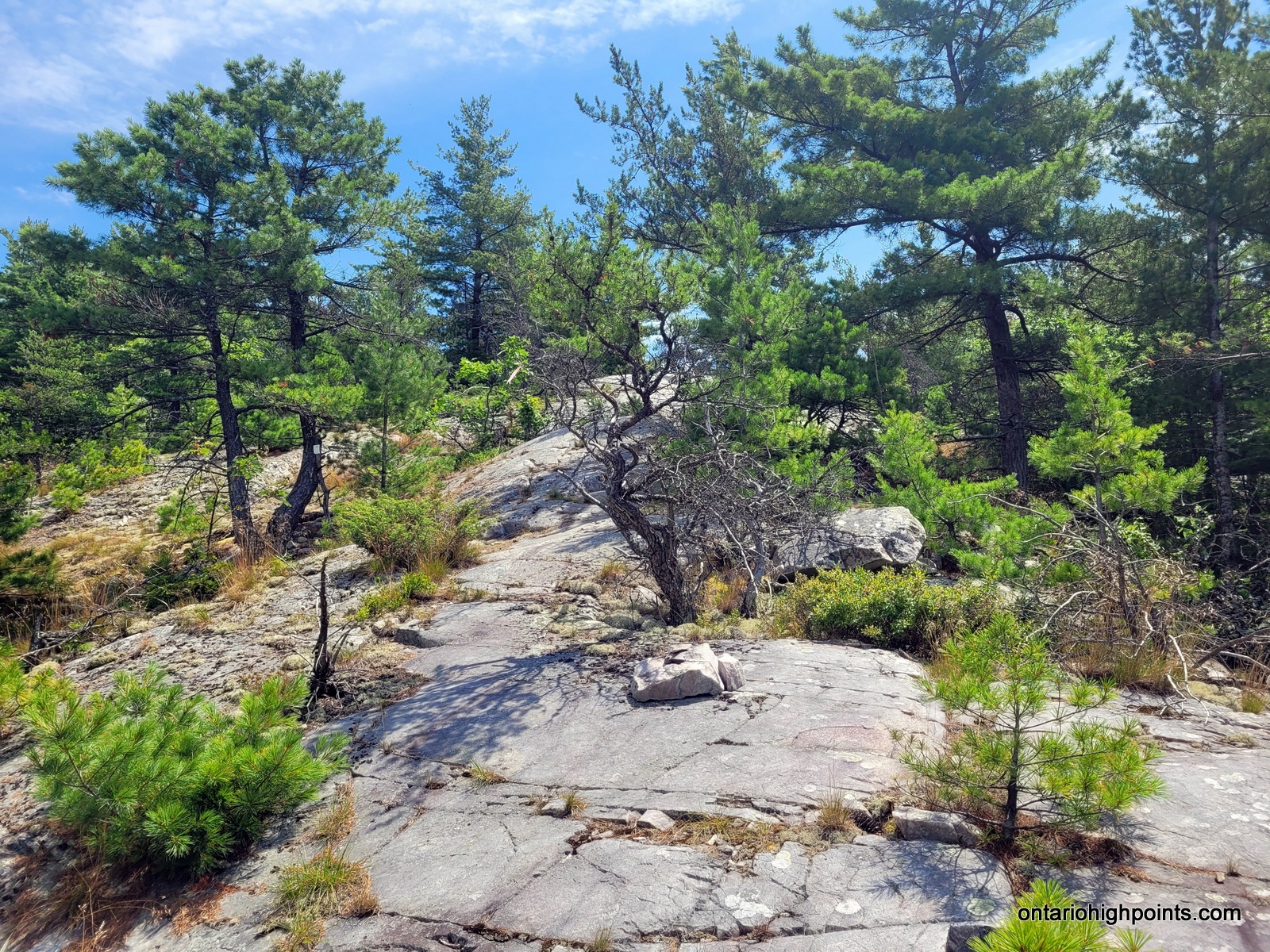
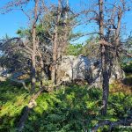
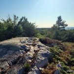
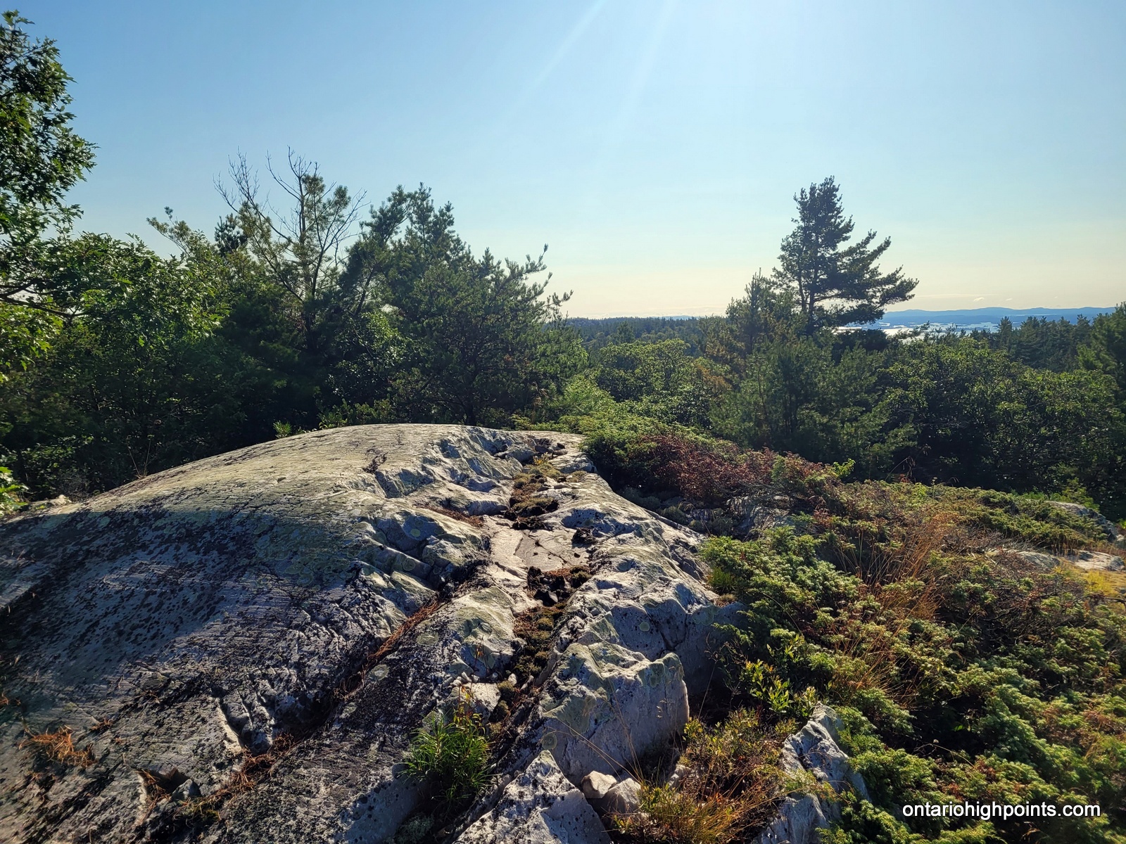
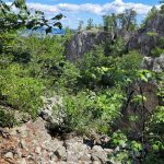
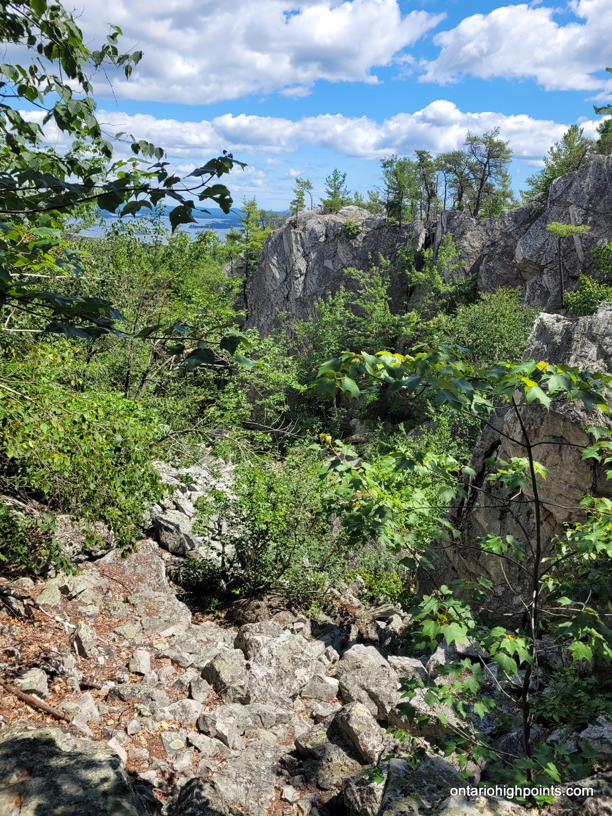
It rained on and off during the night but luckily stopped in the early morning. I left my tent and most of my gear back at the campsite and began a bushwhack southeast towards White Mountain. Initially, the ascent was fairly moderate, but as I got closer the summit the ascent steepened. There were a few steep rock faces that I had to scramble up or had to be avoided entirely. I also had to be careful not to get cliffed out. I occasionally encountered some orange tape flags, but I wasn’t sure where they led and so didn’t follow them too far.
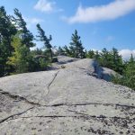
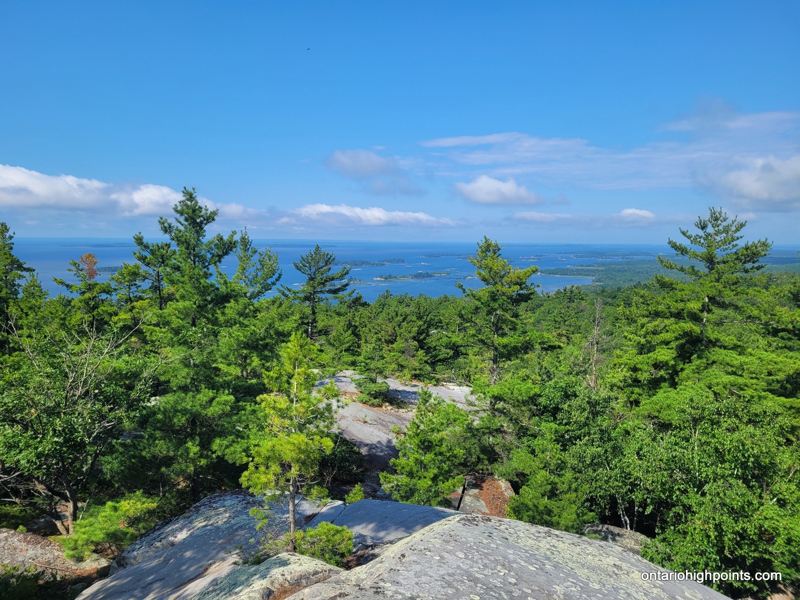
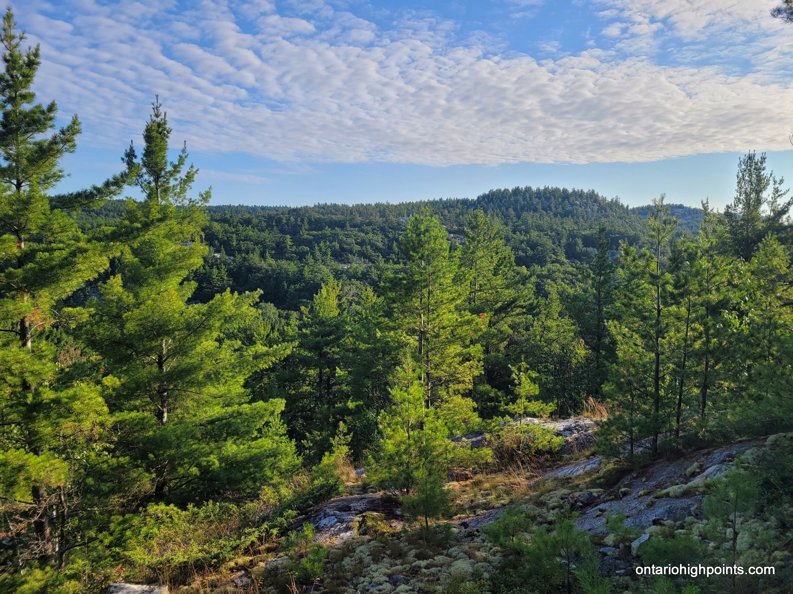
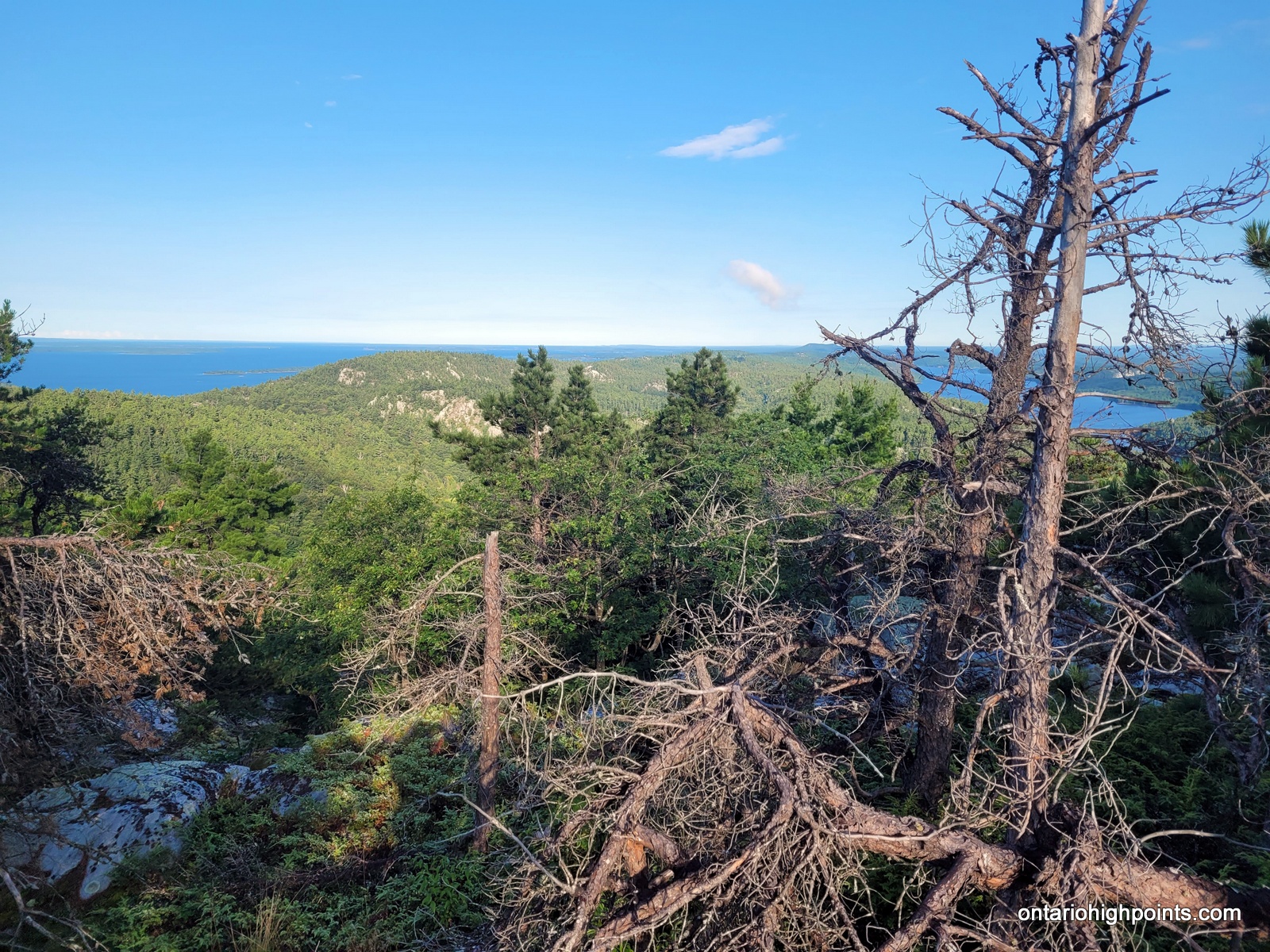
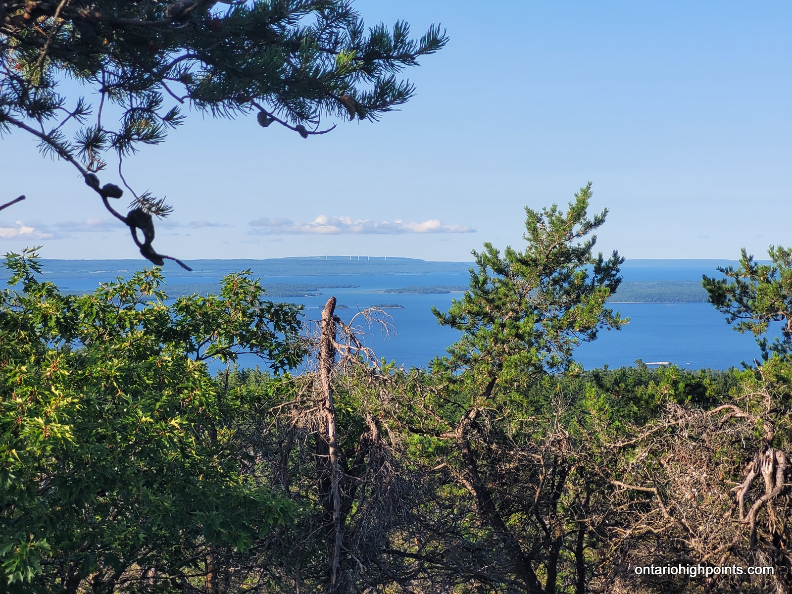
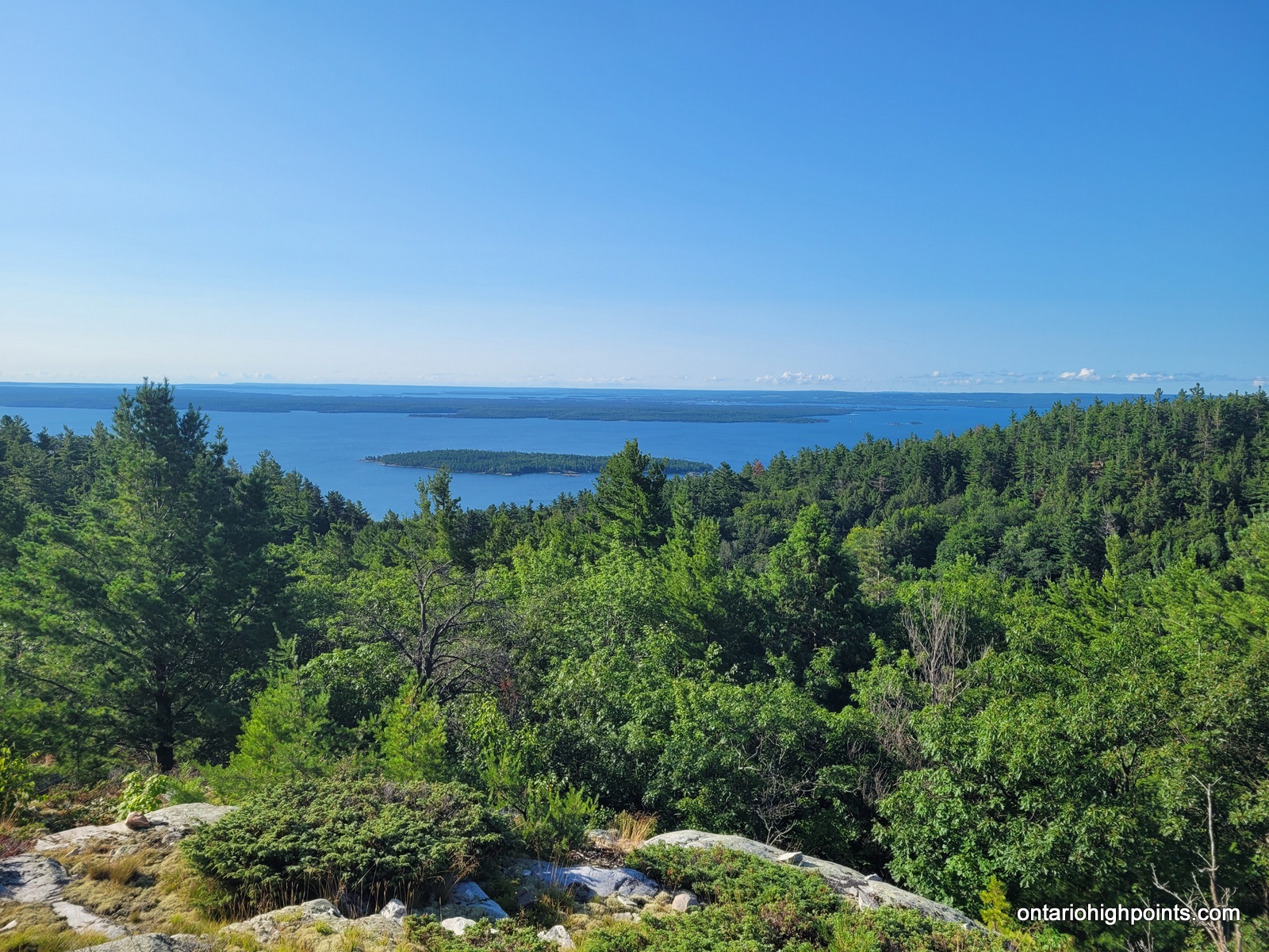
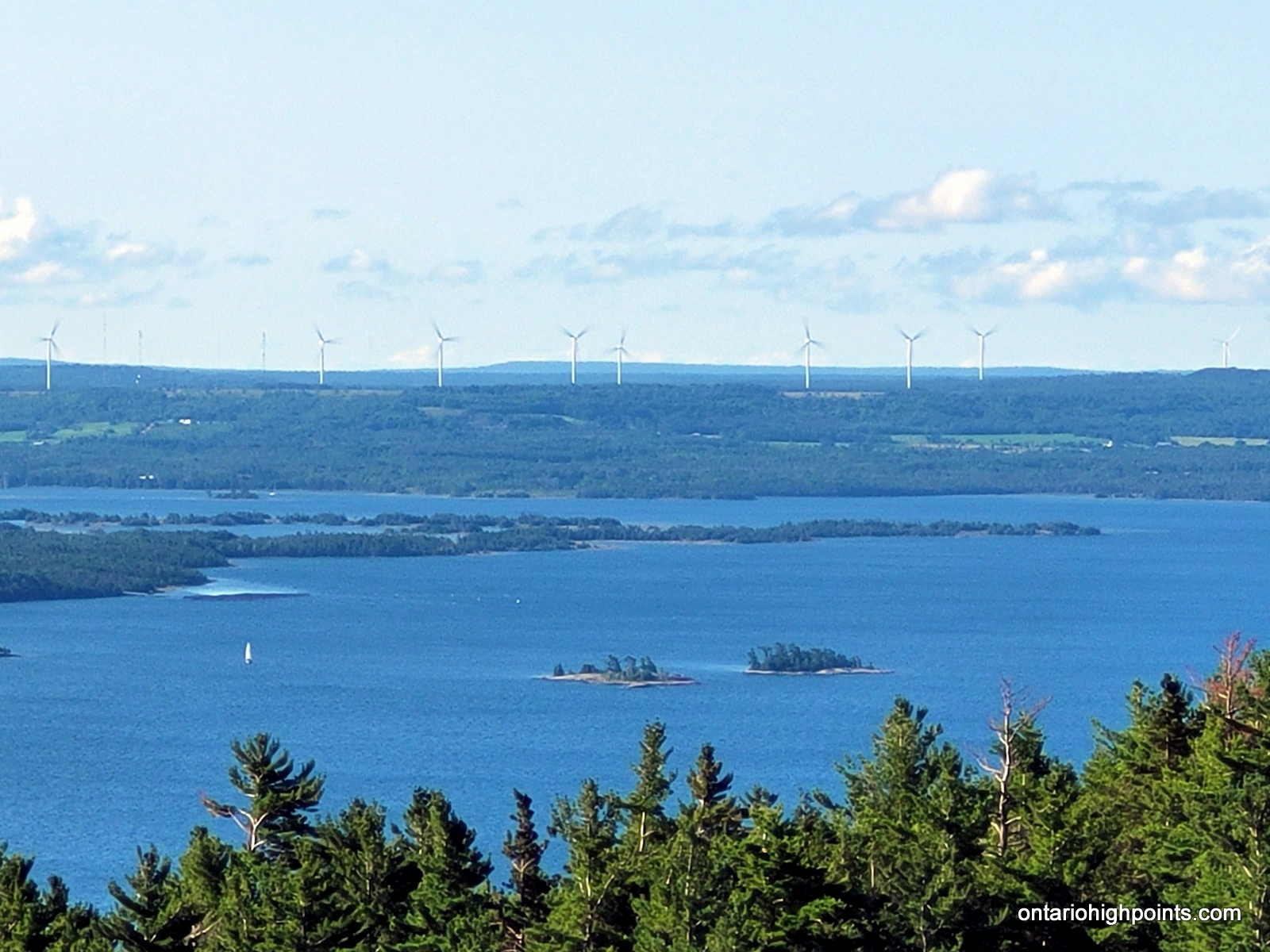
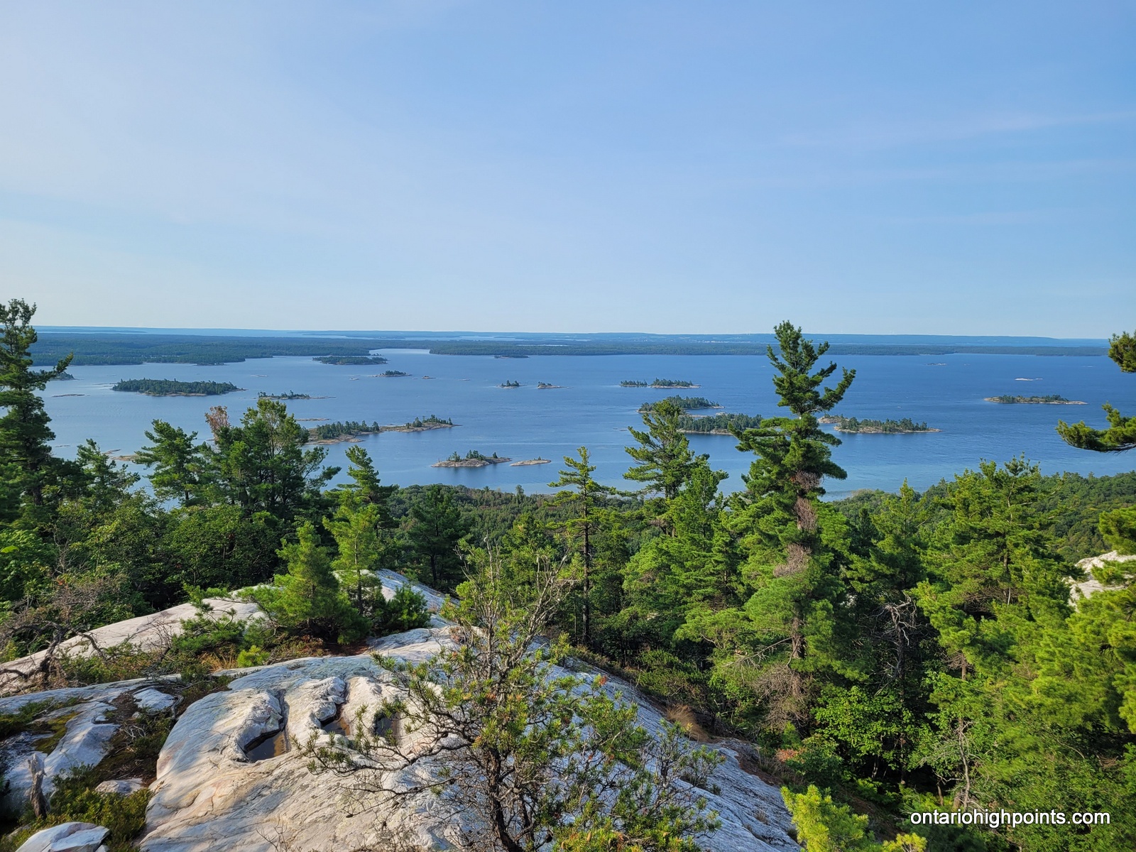
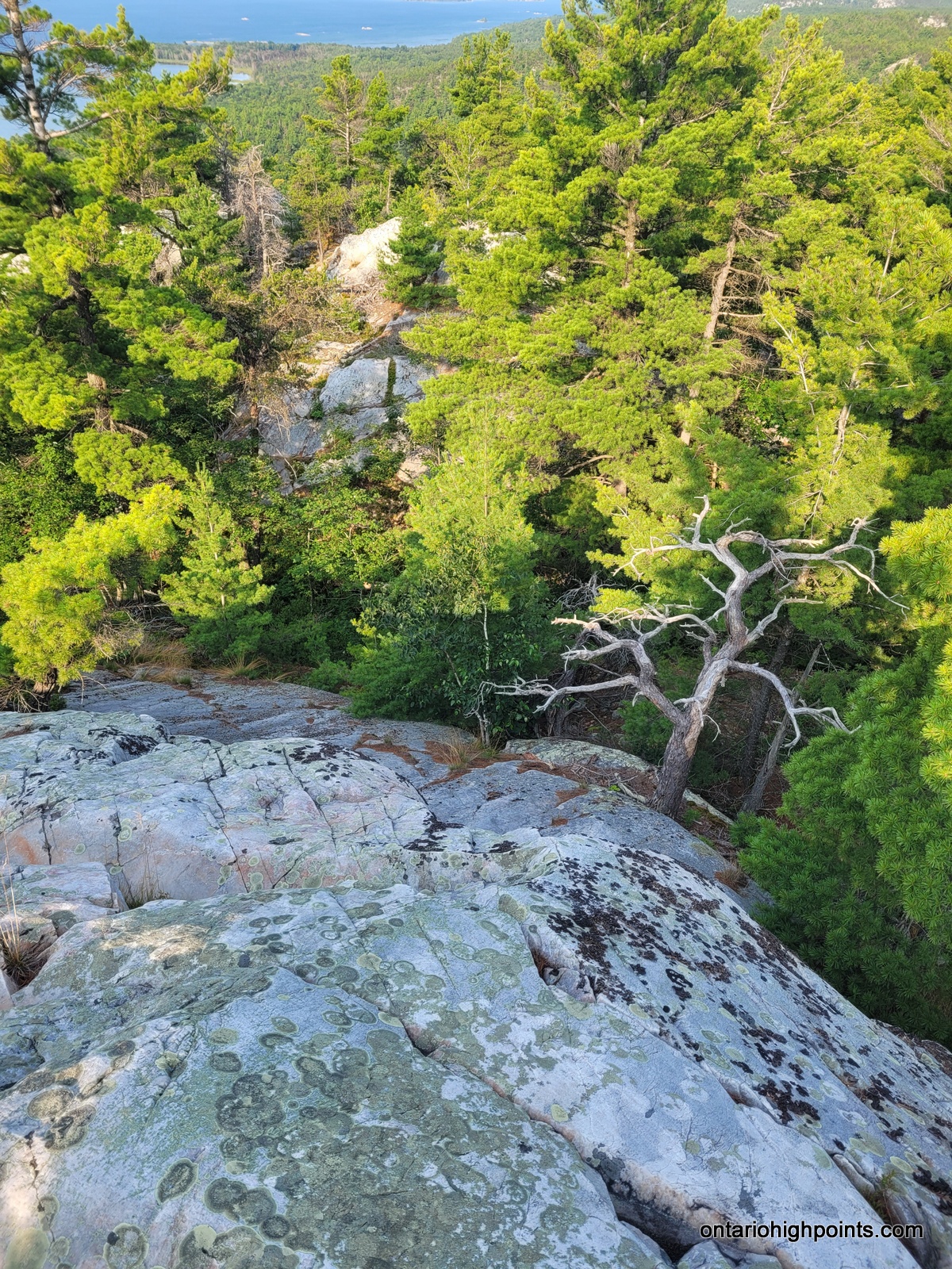
The West Peak of White Mountain, thinly forested with jack pines and juniper mats has good views towards Lake Huron and Manitoulin Island. After photos and GPS readings I departed the peak and headed towards the East Peak of White Mountain, which is about 500 meters to the southeast. Similar to the East Peak, the West Peak is only partially forested, has lots of exposed bedrock and has good views south towards Lake Huron. According to my GPS readings, the East Peak is slightly higher.
I departed White Mountain and headed back to my campsite, roughly paralleling my route in. My trip with return to White Mountain was 4.5 km in length and took about 2.5 hours to complete.
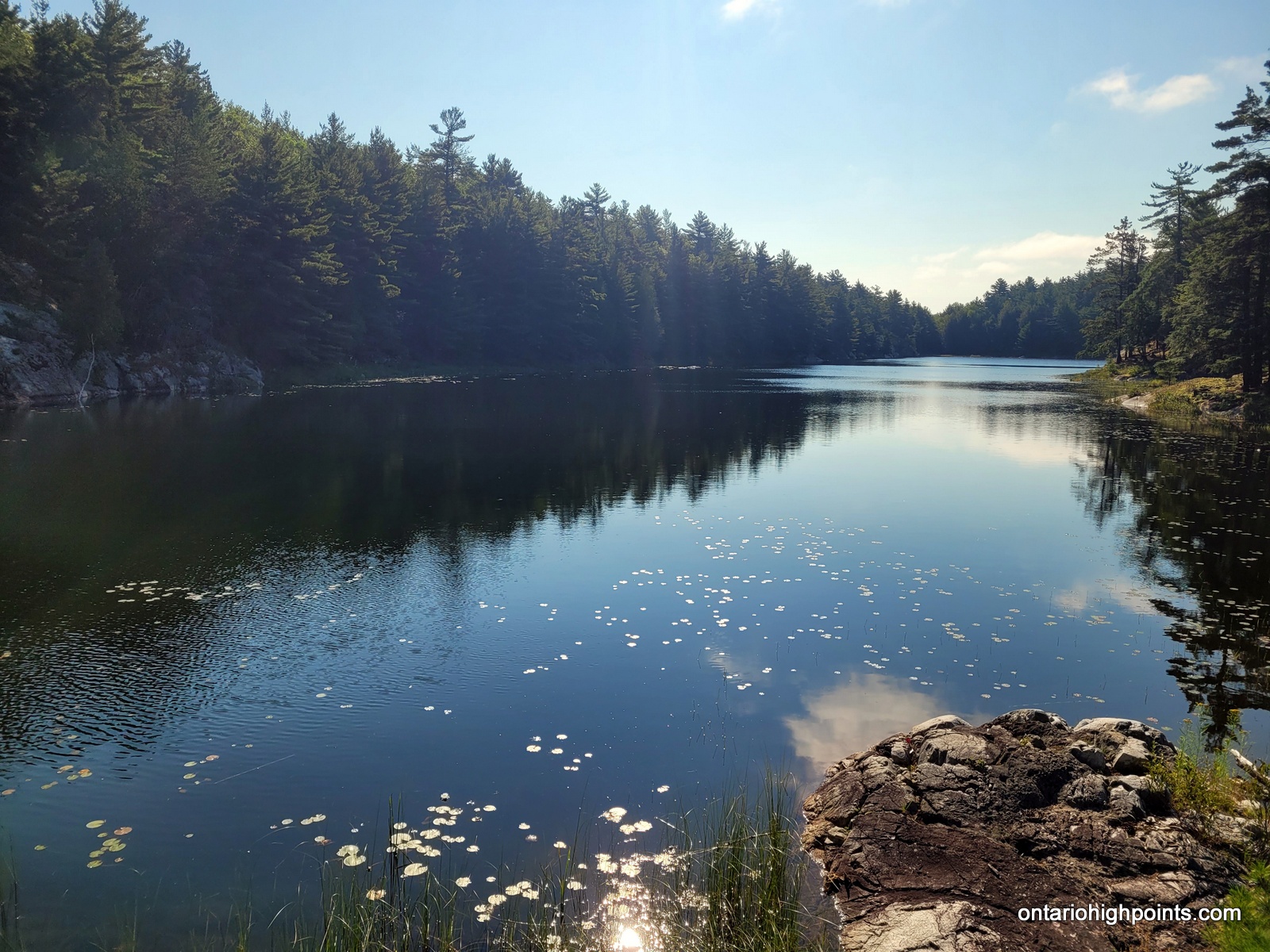
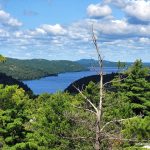
Once back at camp, I packed up and resumed my hike east along the Heaven’s Gate Trail. After ascending back up the ridge, my first stop was at White’s Lake. The trail traverses numerous ups and downs along the ridgeline. 2 km from the campsite on White’s Lake, the trail passes near another photogenic unnamed lake. Nearing Wright’s Lake, the trail steeply descends down a boulder strewn chute — similar to the final bouldery ascent up to The Crack in Killarney. Wright’s Lake is less than 1 km away from the bottom of the chute.
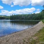
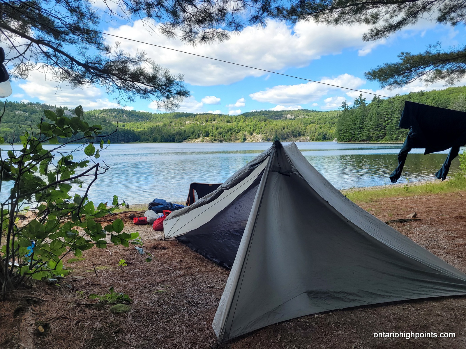
Wright’s Lake is a shallow lake with a mucky bottom, so maybe not the best for swimming, however the sandy beach is a great spot to stop and make camp. I setup my tent here on the beach and enjoyed the rest of the afternoon, taking advantage of the hot sun to dry out my wet clothes. There is a wide trail leading up from the south, but the Heaven’s Gate Trail continues eastward.
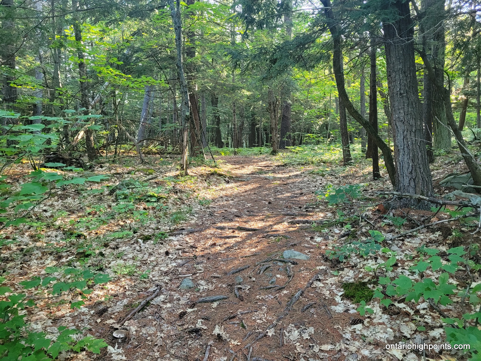
East of Wright’s Lake, the trail becomes significantly easier to follow, it is well marked and the path is much more defined. I broke camp and set out at 6:50 AM and began a moderate ascent up the ridgeline. A lot of the trail through this section is through maple, white pine and hemlock forests, but there are a few places with views along the route — a high point with a view at N46.10814030, W81.85941223. Beyond this point, the trail heads northeast and then parallels the south shore of Alexander Lake. There is no access to the lake until reaching the east end (it’s a steep drop down to the lake).
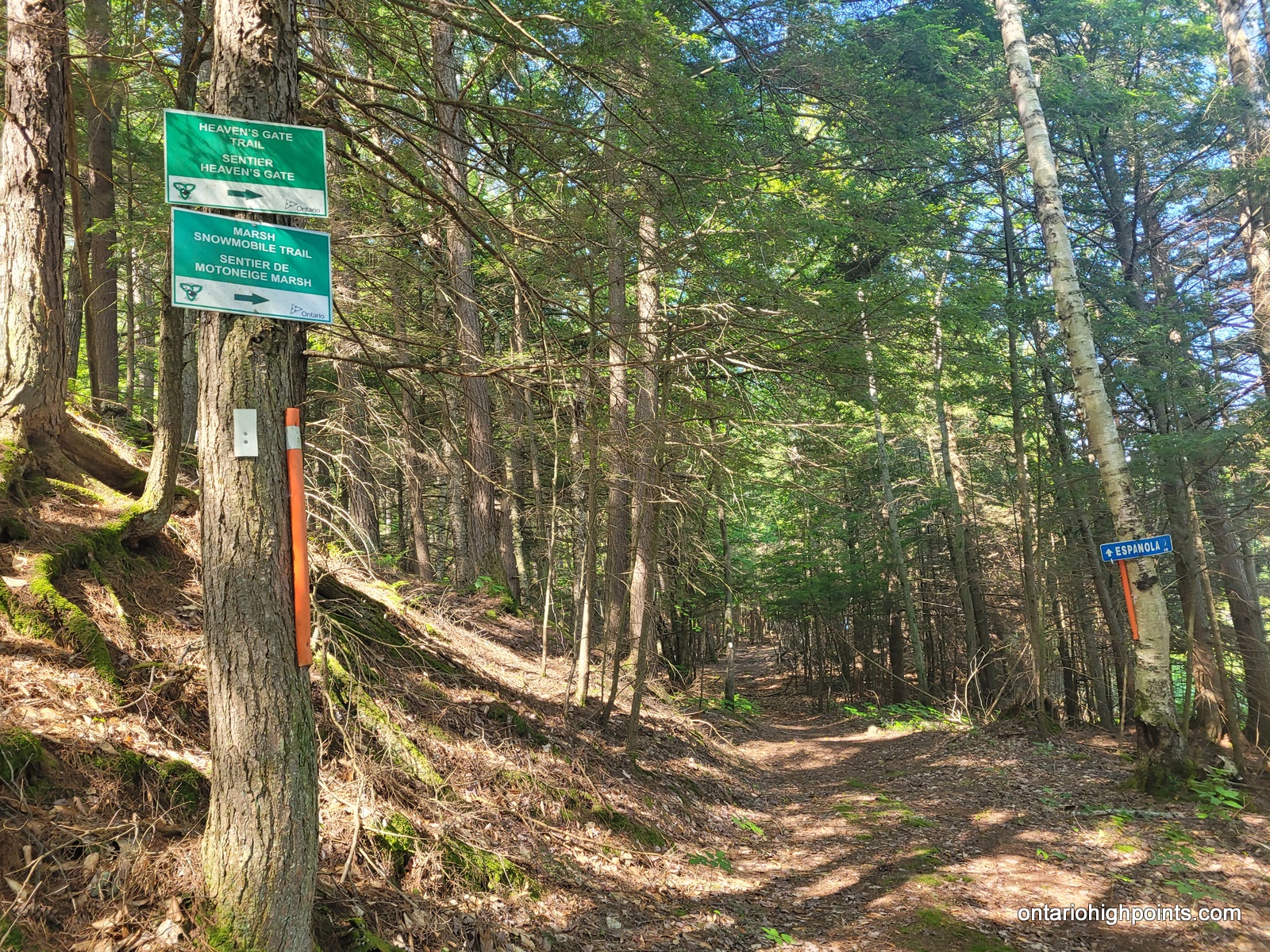
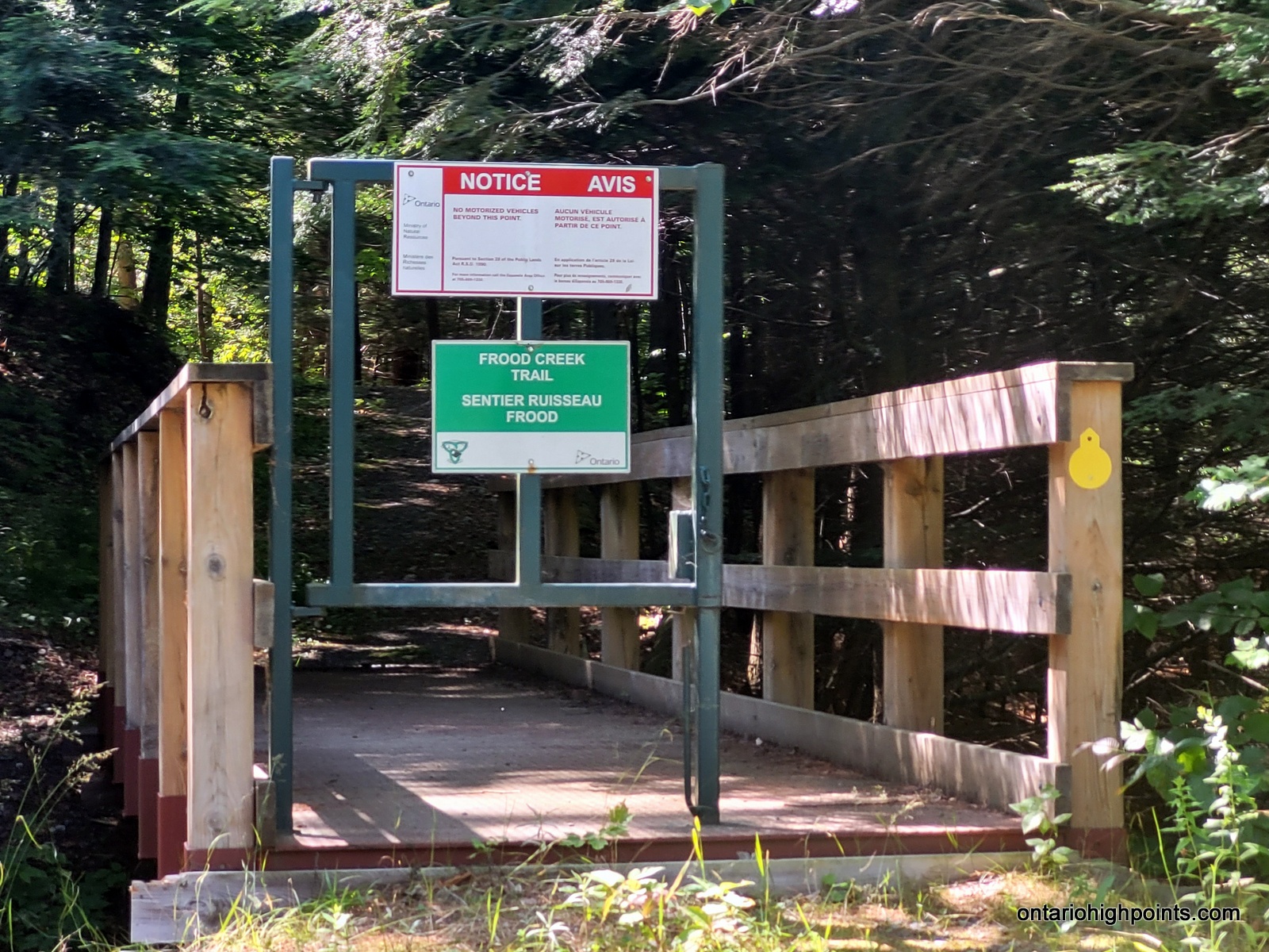
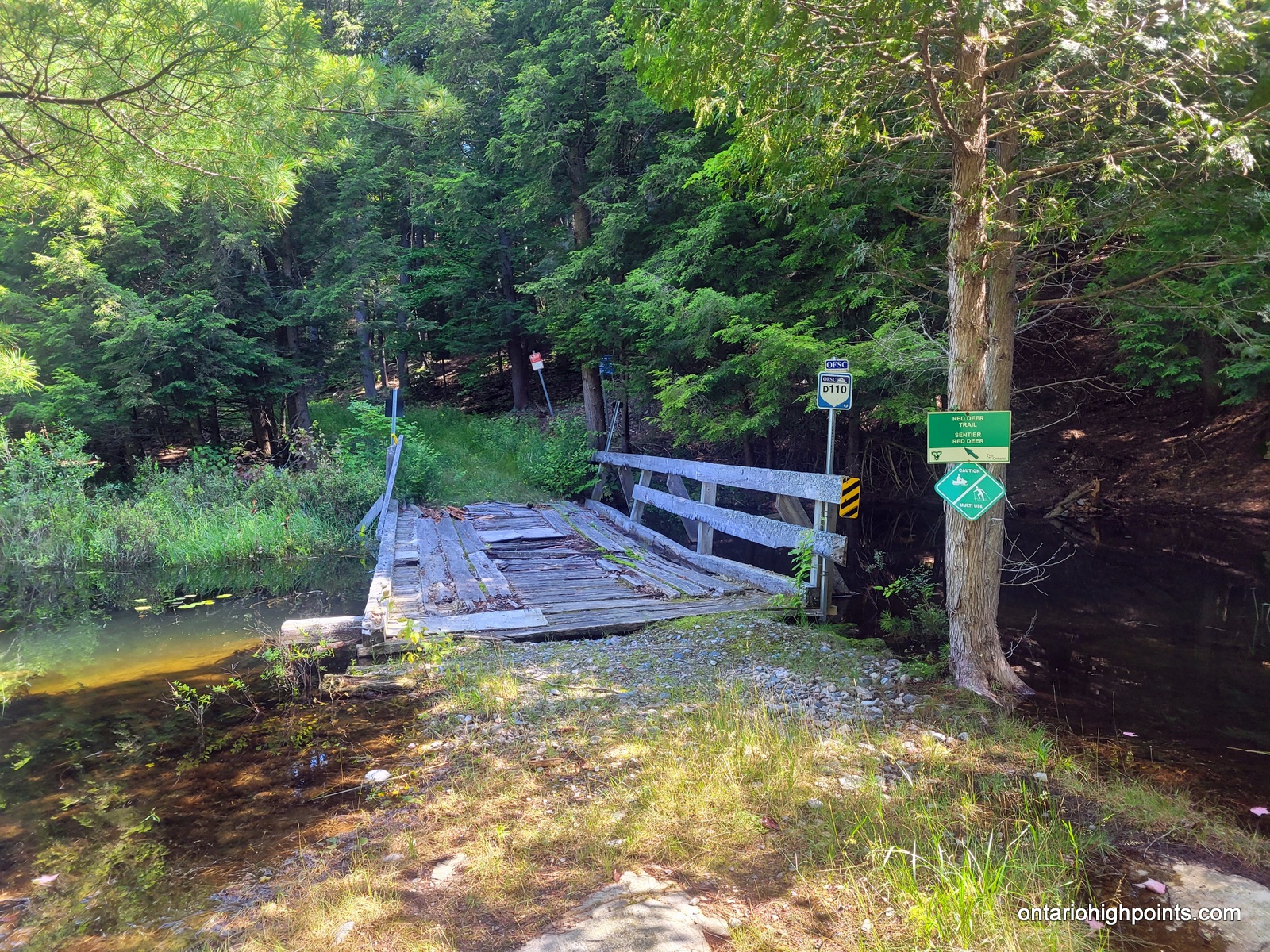
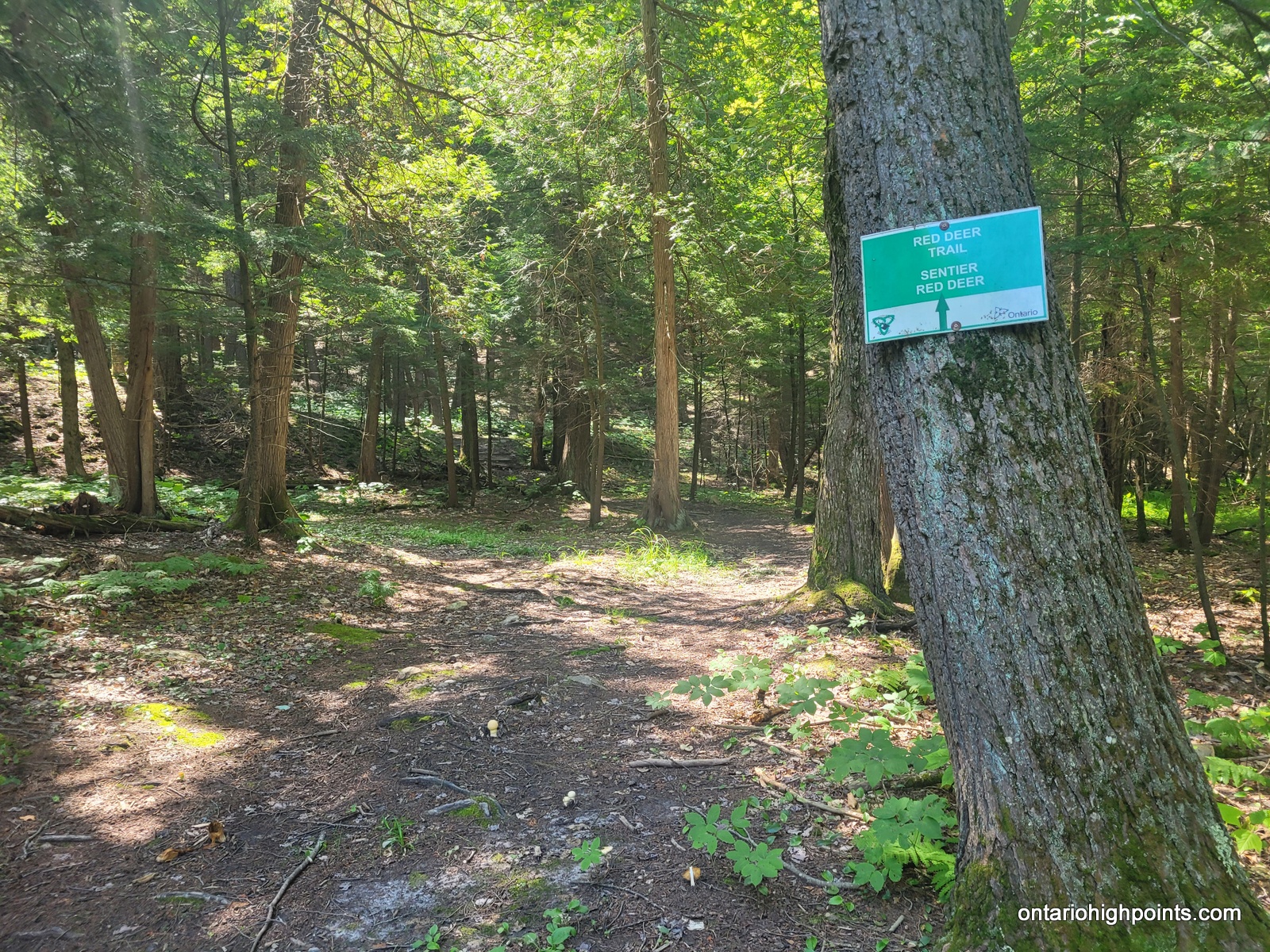
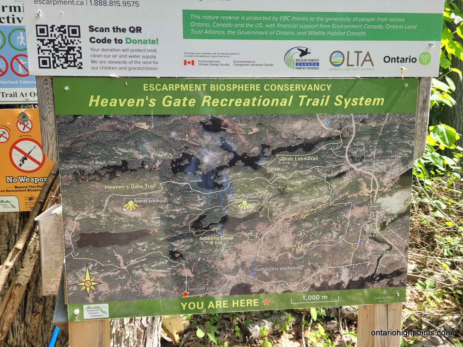
I made good time and could have probably continued along the Heaven’s Gate Trail all the way to Hwy 6, but as I had previously completed the Eastern/Mount Ararat section I decided to bail out and check out the south access trails at the Alexander/Florence Lake intersection. The trail is signed the Marsh Snowmobile Trail and heads south then east towards Frood Creek. This part of the trail doesn’t look like it sees much foot traffic, but it’s wide and easy to follow. After crossing the creek, the trail is signed The Red Deer Trail, continues east for about 1 km, turns south and continues for 1.3 km to the parking lot at Bay of Islands Drive.
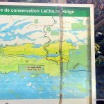
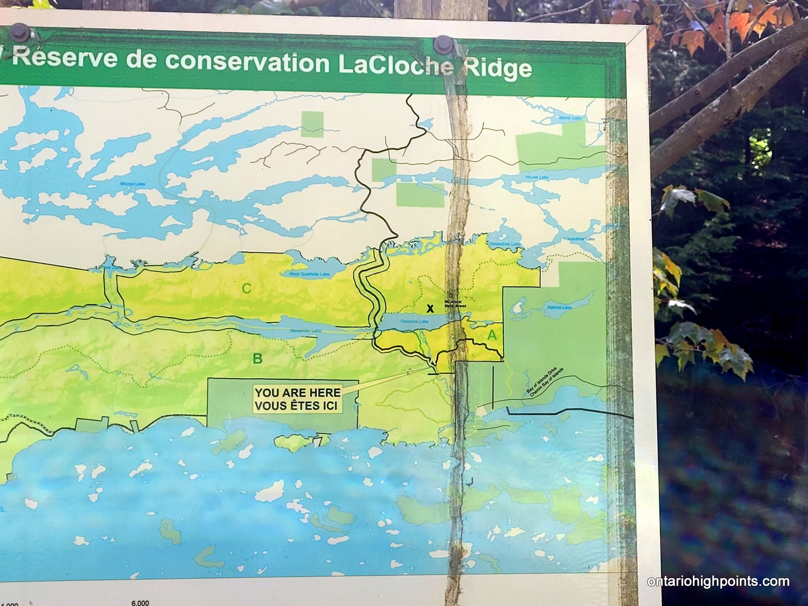
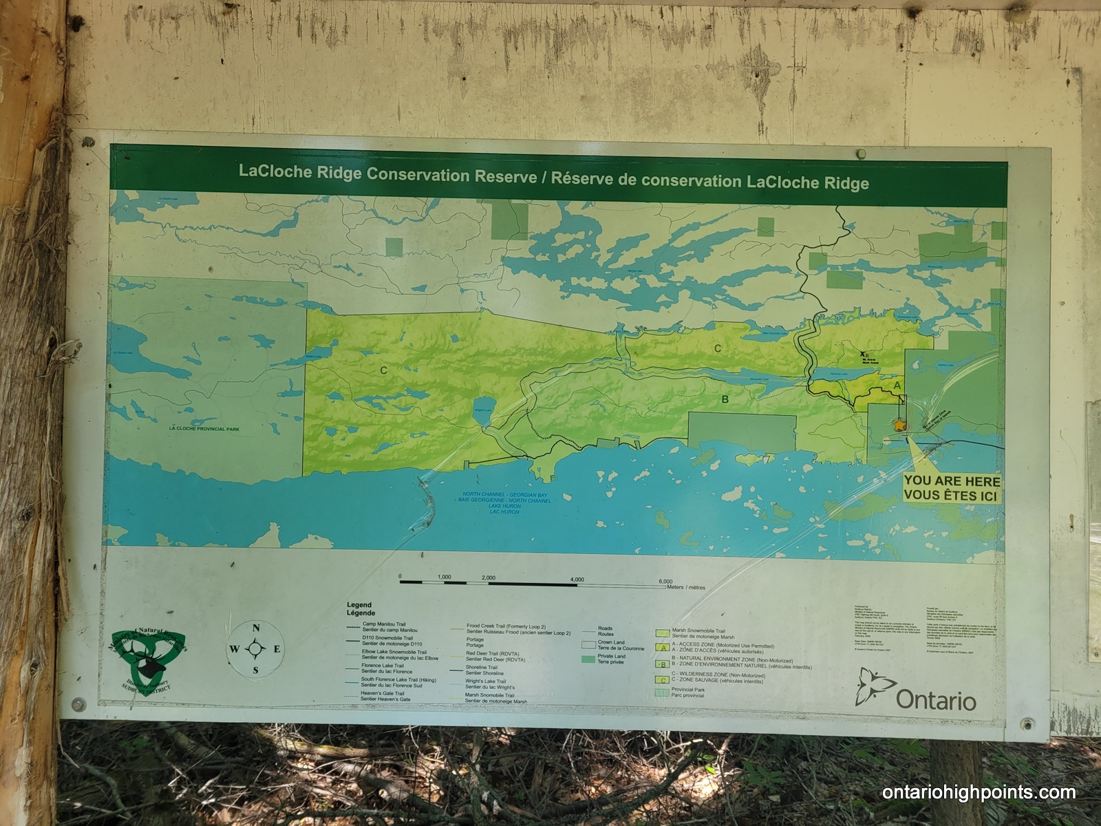
View a larger version of the map
Trip Summary:
Day 1 – July 17, 2024
00.0 km – Departed Fort La Cloche (8:25 AM)
03.6 km – Arrived at Campsite on unknown lake (9:23 AM)
11.3 km – Arrived at Campsite @ km 8.2 (1:42 PM)
15.4 km – Arrived at River Campsite (3:45 PM)
Day 2 – July 18, 2024
00.0 km – Departed River Campsite (7:29 AM)
01.3 km – Arrived at White Mtn – West Peak (8:17 AM)
02.2 km – Arrived at White Mtn – East Peak (8:53 AM)
04.5 km – Arrived back at River Campsite (10:00 AM)
04.5 km – Departed River Campsite (10:35 AM)
07.3 km – Arrived at White’s Lake (12:14 PM)
13.0 km – Arrived at Wright’s Lake Campsite (3:08 PM)
Day 3 – July 19, 2024
00.0 km – Departed Wright’s Lake Campsite (6:50 AM)
04.2 km – Arrived at unknown trail (8:30 AM)
09.5 km – Arrived at Marsh Snowmobile Trail intersection (10:40 AM)
11.0 km – Arrived at Frood Creek (11:16 AM)
13.4 km – Arrived at Red Deer Village Trailhead (12:00 PM)
Gallery:
Day 1 – July 17, 2024
-
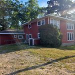
- Former lodge at Fort La Cloche
-
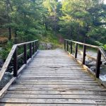
- Bridge over La Cloche River
-
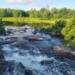
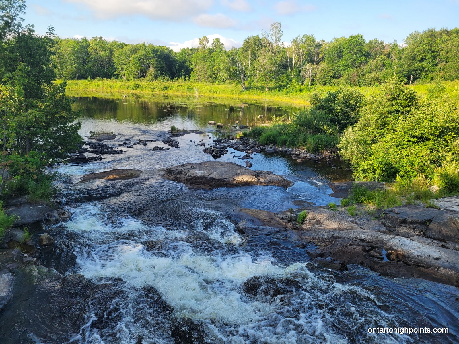
- La Cloche River
-
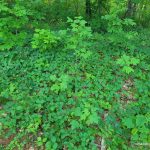
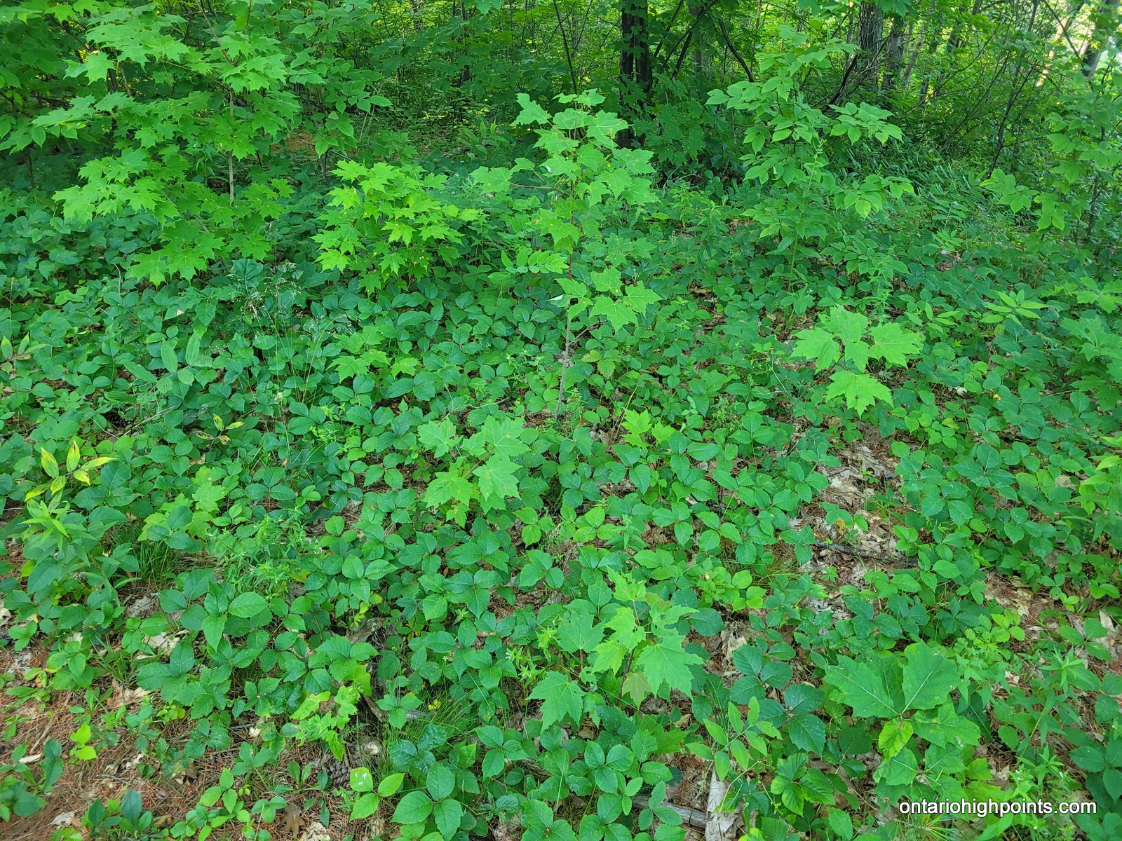
- Poison Ivy
-
- Initially nice trail
-
- La Cloche Lake

-
- A marsh along the trail
-
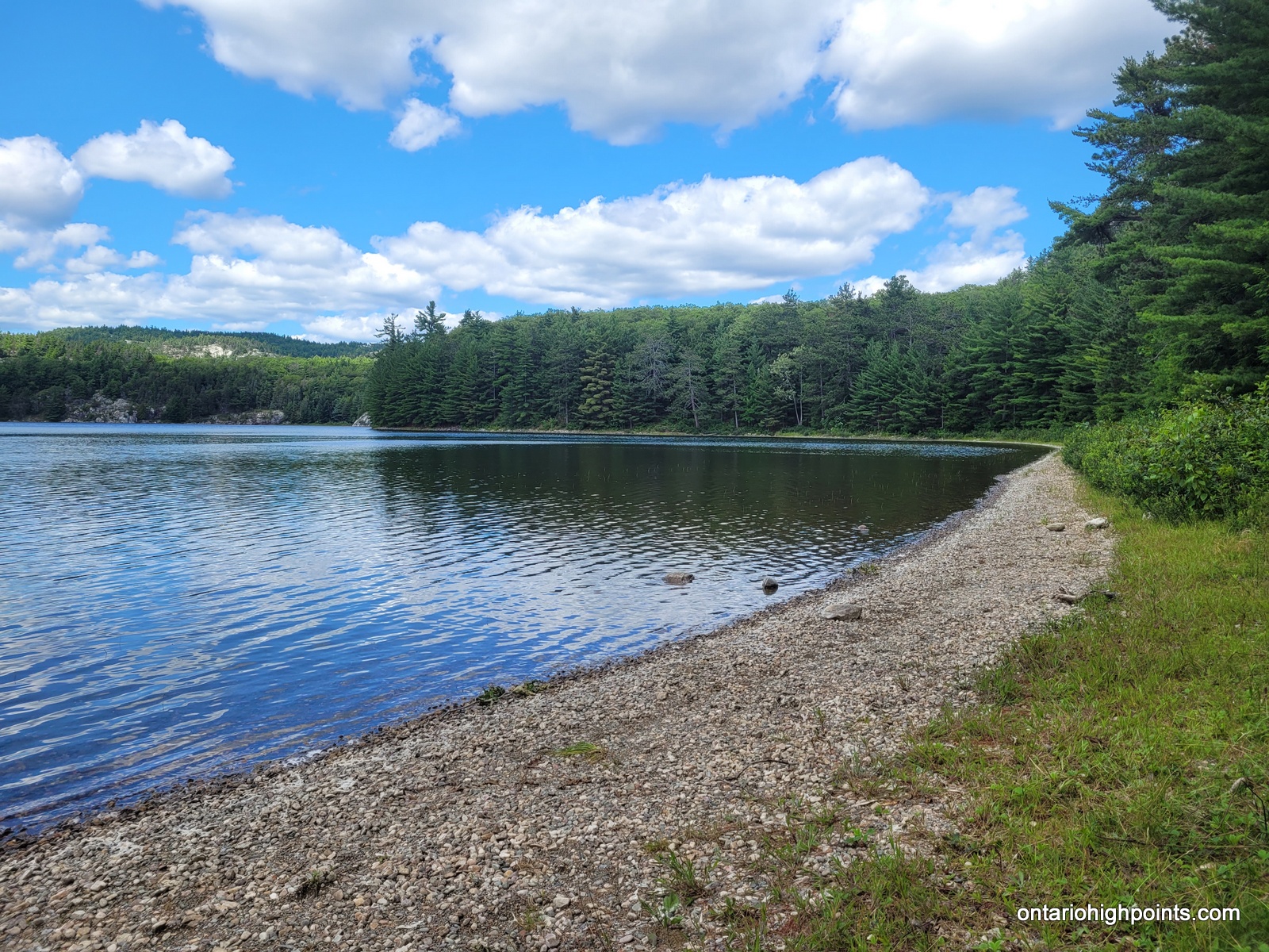
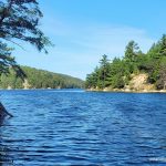
- Unnamed Lake at Campsite @ km 3.6
-
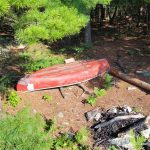
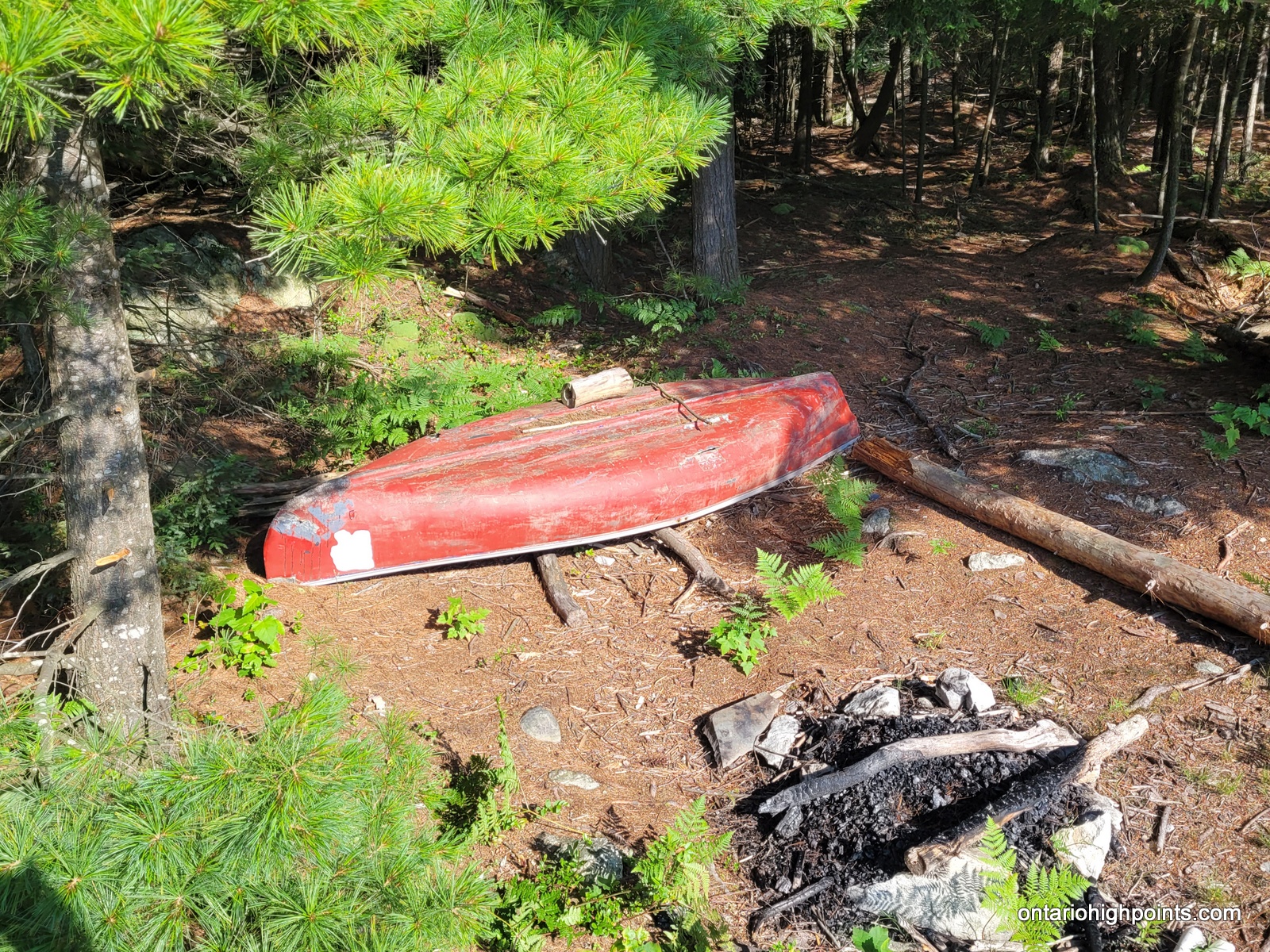
- Canoe at Campsite @ km 3.6
-
- View North
-
- Rough trail climbing the ridge
-
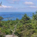
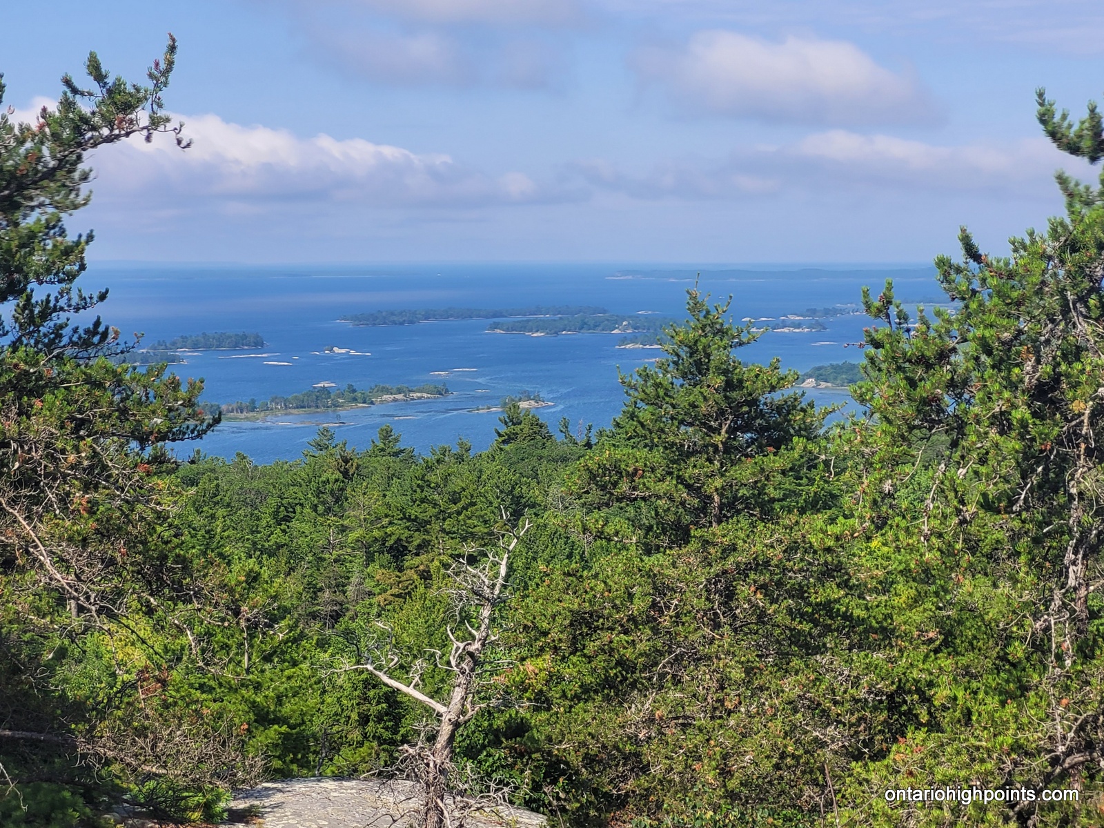
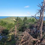
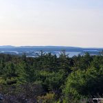
- View south of islands and Lake Huron
-
- View of the ridge
-
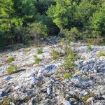
- Trail along exposed rock
-
- View south again towards islands and Lake Huron
-
- Unnamed Lake again (other end)
-
- Trail passes through a rock notch
-
- Trail crosses over an old beaver dam
-
- The trail back up on the ridge
-
- The La Cloche Mountain ridgeline
-
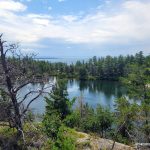
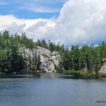
- Unnamed Lake #2
-
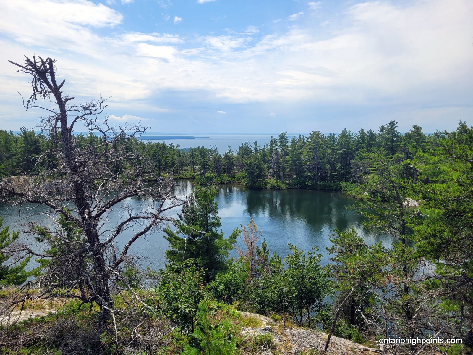
- Unnamed Lake #2 and Lake Huron
-
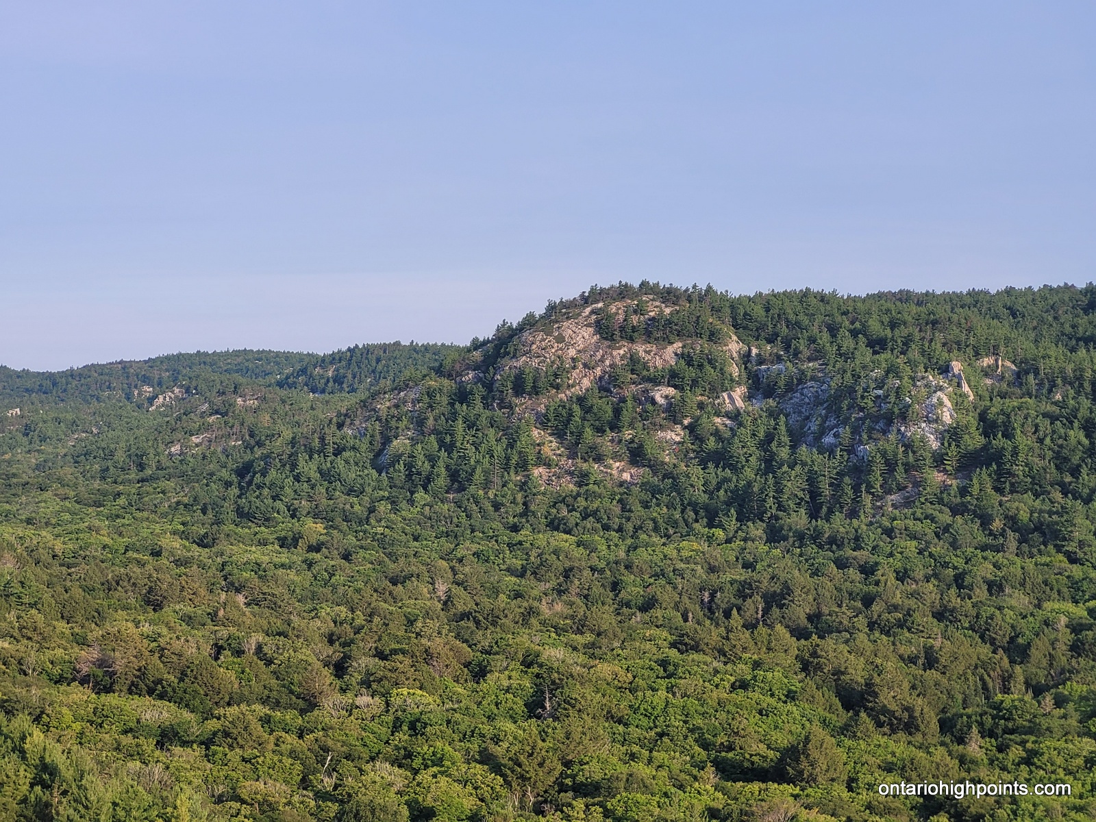
- View of White Mountain
-
- Unnamed Lake #3
-
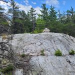
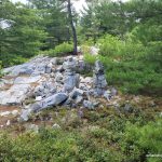
- One of many cairns along the trail
Day 2 – July 18, 2024
-
- View along the way to White Mountain
-
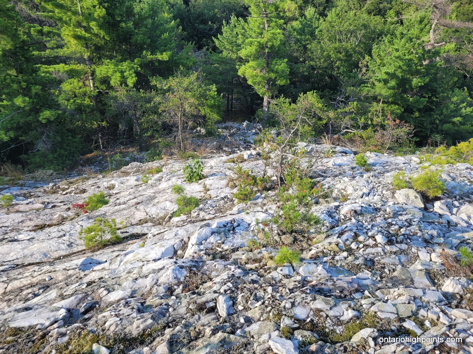
- Highest point on White Mountain – West Peak (Candidate HP)
-
- View from White Mountain – West Peak
-
- View south from White Mountain – West Peak towards wind farm on Manitoulin Island
-

- GPS elevation on highest point on White Mountain – West Peak (Candidate HP)
-
- View south of Eastern Island from White Mountain – East Peak
-
- View back towards White Mountain – West Peak
-
- Viewpoint on White Mountain – East Peak (Main Peak)
-
- View south from White Mountain – East Peak towards wind farm on Manitoulin Island
-
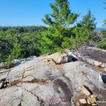
- Highest point on White Mountain – East Peak (Main Peak)

-
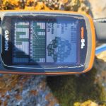
- GPS elevation on highest point on White Mountain – East Peak (Main Peak)
-
- View west from White Mountain – East Peak
-
- View down into the steep valley
-
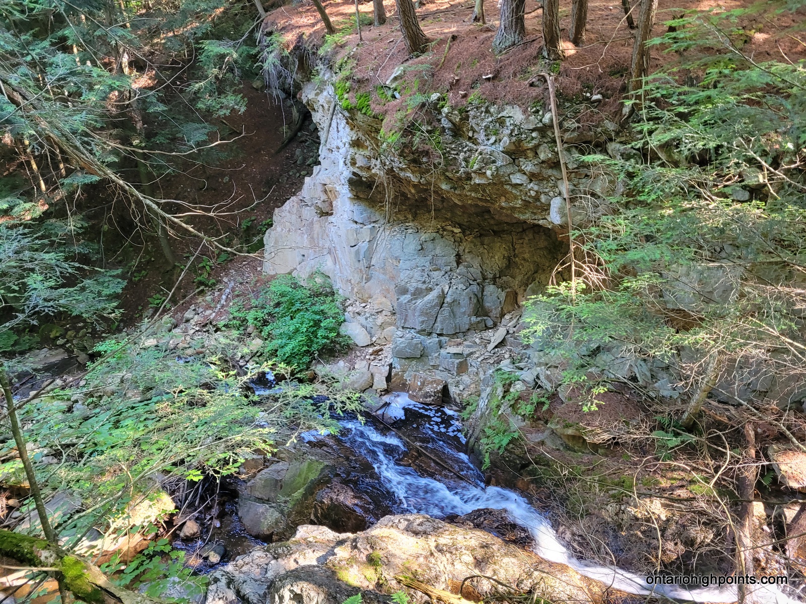
- Creek and interesting exposed rocks
-
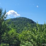
- View of White Mountain from the north
-
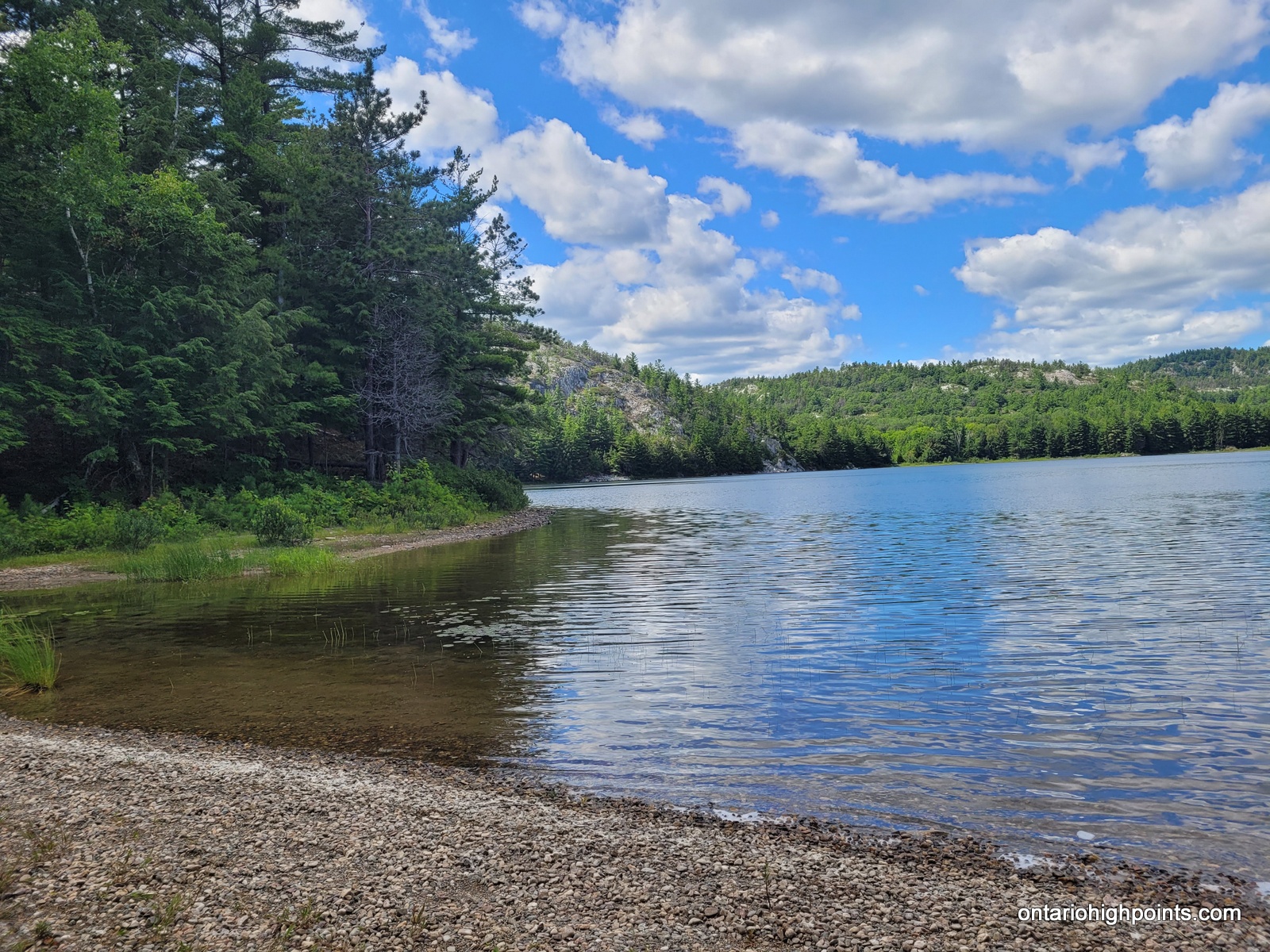
- La Cloche Lake
-
- La Cloche Mountains
-
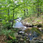
- Creek near White’s Lake

-
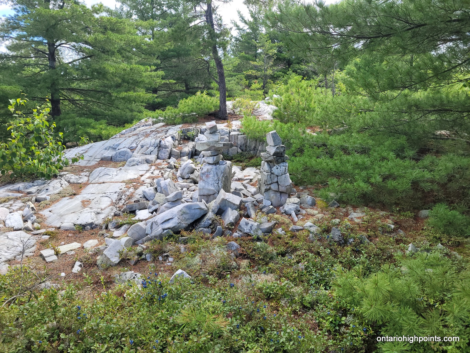
- White quartzite cairns
-
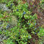
- Blueberries along the trail

-
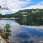
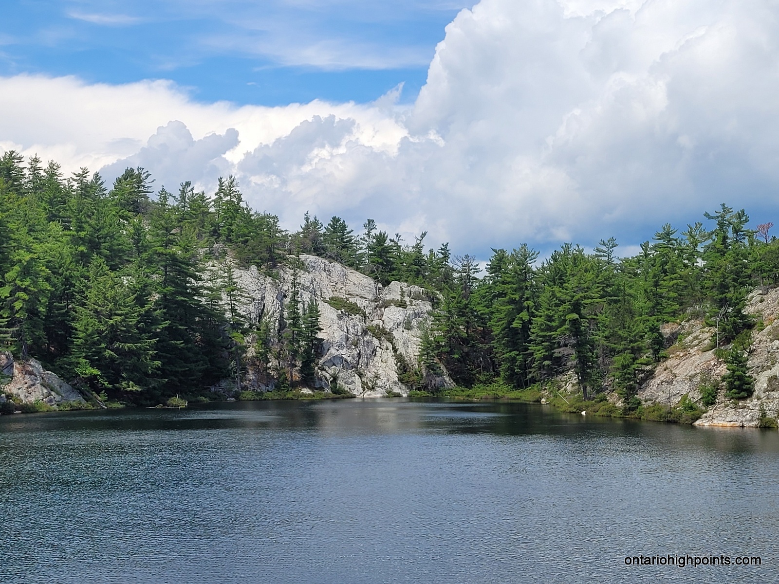
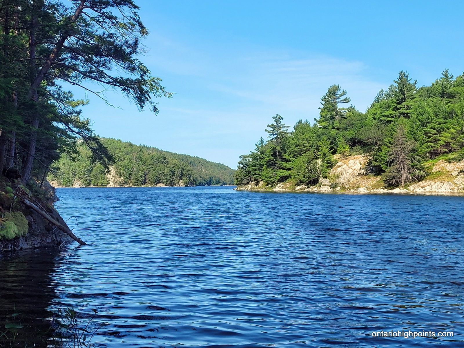
- White’s Lake
-
- Along the La Cloche Mountains ridgeline
-
- Another unnamed Lake
-
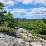
- View south from the ridgeline
-
- Steep descent down a boulder strewn chute
-
- Beach at Wright’s Lake (viewing east)
-

- Beach at Wright’s Lake (viewing west)
-
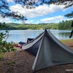
- Made camp on Wright’s Lake
Day 3 – July 19, 2024
-
- Morning on Wright’s Lake
-
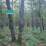
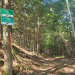
- Heaven’s Gate trail and signage
-
- Morning sun on the La Cloche Mountains
-
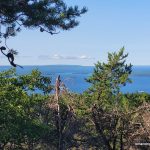
- View east of the islands of the North Channel
-
- Rugged hills of La Cloche Mountain range
-
- Steep descent down a quartzite hillside
-
- White pines and Lake Huron
-
- The trail ascending up a notch in the rock
-
- View of the islands of the North Channel of Lake Huron
-
- View of the shoreline along North Channel of Lake Huron
-
- Steep dropoff
-
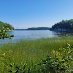
- Alexander Lake
-
- Intersection of Heaven’s Gate and Marsh Snowmobile trail
-
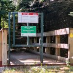
- “You Are Here” at Frood Creek
-
- Frood Trail and Frood Creek bridge #1
-
- Red Deer Trail and Frood Creek bridge #2
-
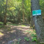
- Red Deer trail and signage
-
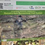
- Heaven’s Gate Recreational Trail System sign
-
- “You Are Here” at Bay of Islands Drive
GPS Tracklog (GPX Format):
White Mountain / Heaven’s Gate Trail GPS Track
Related Links:
AllTrails – Kitchitwaa Shkwaandem Trail (Heaven’s Gate)
Suluk46 – Heaven’s Gate Trail Vlog
Laura Hikes – Heaven’s Gate Trail Vlog
Laura Hikes – Heaven’s Gate Trail Guide